
This page updated September 2008. The Bay of Naples is an active volcanic region with numerous craters and calderas in which more than 1 million people live. Strainmeters, tiltmeters, GPS, tide gauges and other forms of geodetic and geochemical monitoring are maintained by scientists from local universities and the Istituto Nationale di Geofisica e Vulcanologia. A very readable summary of the volcanic history of the region by Helen Brand can be downloaded here.
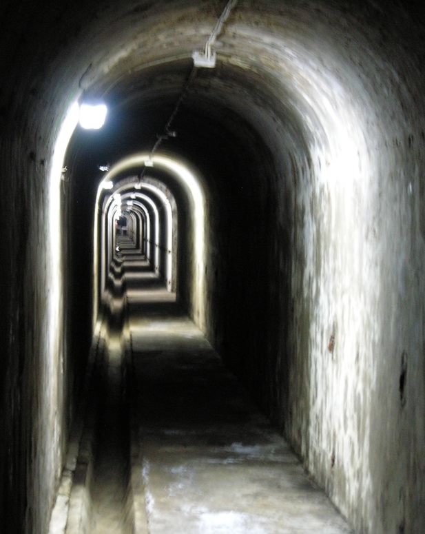
This page describes the first of several tiltmeters to be installed in the Pozzuoli region in a joint project between Università di Salerno, Italy and the University of Colorado, Boulder. The tiltmeter is installed in a tunnel inland from the coast at a depth of approximately 20 m. A 10 cm diameter pipe is bolted to the wall and half filled with water to provide a continuous equipotential surface between the two ends.
At each end of the water pipe a float sensor monitors water level to sub-micrometer accuracy ( a "hairs-breadth" is about 60µm). The sensor shown below consists of four chromium-plated floats whose vertical position is monitored by a linear variable differential transformer (LVDT). Their range is 6 mm and their transmitted resolution 0.7 m. A local data logger records data once each minute with 45 nanometer resolution (0.5 nrad tilt resolution).

Data are sampled every 1 second, digitally averaged for 15 minutes and transmitted every two hours to a publically available data base. (User:geo, password:hobo. Water level in mm to 0.3 µm precision, atmospheric pressure in mbar). A NE-SW tiltmeter was installed 28 March 2008. Pressure loading influences the tilt at periods of a few days to a week (note anticorrelation in the plot below where tilt amplitudes of 0.2 microrad are caused by pressure fluctuations of 10-30 mbar). A four station pressure monitoring array has been installed around the Bay of Naples whose data will be used to supress these effects.