File:BEACHOH AccessRds.jpg
From Jimenez Group Wiki
Size of this preview: 800 × 467 pixels. Other resolutions: 320 × 187 pixels | 1,409 × 822 pixels.
Original file (1,409 × 822 pixels, file size: 191 KB, MIME type: image/jpeg)
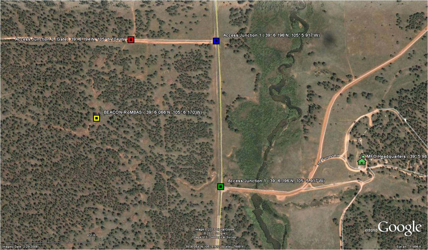
Zoomed in map showing MFO headquarters, BEACHON-RoMBAS measurement site, and junctions (not GPS coordinates)
File history
Click on a date/time to view the file as it appeared at that time.
| Date/Time | Thumbnail | Dimensions | User | Comment | |
|---|---|---|---|---|---|
| current | 11:58, 8 June 2011 | | 1,409 × 822 (191 KB) | Doug (talk | contribs) | Zoomed in map showing MFO headquarters, BEACHON-RoMBAS measurement site, and junctions (not GPS coordinates) |
- You cannot overwrite this file.
File usage
The following page links to this file: