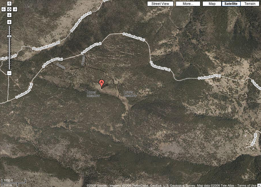
Google satellite map with forest roads near meadows of Gordon Gulch
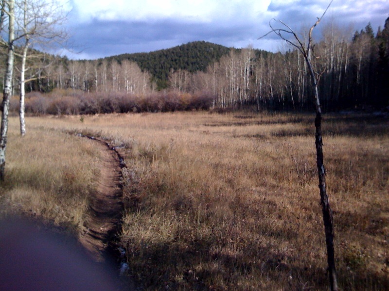
Upper meadow from west edge looking east. Latitude 40.02117°N, Longitude 105.48° W, 10/22/08 15:29:00.87
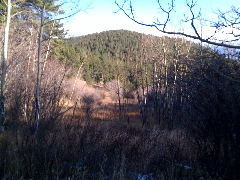
Lower meadow from road looking east. Latitude 40.02017° N, Longitude 105.4767°W
10/22/08 15:52:09.37
Directions:
From Nederland, head north on peak-to-peak hwy (SR72) 5.8 miles from the rotary in town (SR72/119 junction). Turn right on gravel road with Peterson mailbox (this is Switzerland Trail but is unsigned). Pass through private land for 2.3 miles, then will pass another private land sign (facing other way), go through roadcut, across on earthen trestle, through another roadcut and will then be at junction with FR 233A on right. Can turn right to head to site, or continue 0.3 miles to FR233C on right (at small clearcut). These two roads meet about 0.1 mi. south of Switzerland trail (on 233C). From that junction, can park either about 0.1-0.2 mi. near top of steeper descent and walk down to upper meadow, or continue about 0.4 mi. from 233C/233A junction to creek bottom near lower meadow. Total time about 45 minutes from Canyon and Folsom.
From Sugarloaf: Turn on Sugarloaf road from Boulder Canyon Road (SR 119), noting odometer. 1.5 miles pass the National Forest boundary sign. 5.8 miles, turn right on Sugarloaf Mountain Road (sign for Switzerland Trail and Sunset townsite). 0.8 miles up road (6.6 mi. from Hwy 119) turn left when approaching large parking area. Follow this road 3.7 miles (to 10.3 mi. from SR 119) to junction with FR233C (will pass FR237 about 0.3 mi on left, FR237B 0.4 mi. on left, FR237C on left 0.6 mi., unmarked crossing of a minor road about 1.0 mi. from parking area). Turn left on FR233C and then drive as above. Total time about 50 minutes to CU.