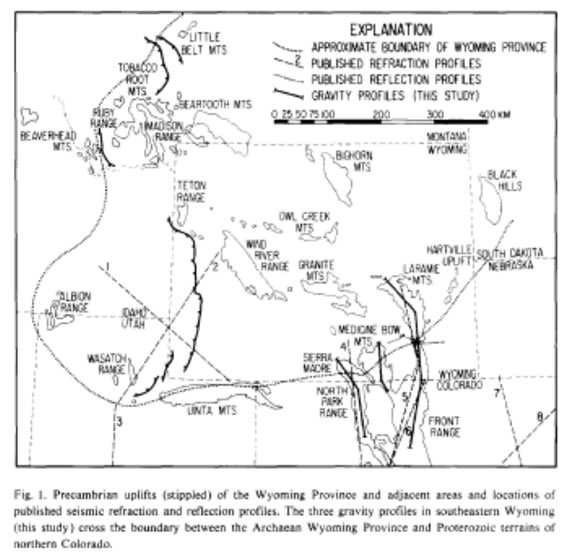
 The 2.4-3.9 Ga Wyoming Craton is the most southwestern extent of Archean lithosphere in North America. It underlies most of the eponymous state and regions to the north and east. Its southern margin is known as the Cheyenne Belt and marks the boundary with the 1.78-1.74 Ga Yavapai province (see figure at right, from [Johnson et al., 1984] ).
 According to the isopycnic hypothesis [Jordan, 1975], Archean terranes may be underlain by thick but stable mantle lithosphere. During melt extraction at higher temperatures, mantle reservoirs became depleted in iron and relatively enriched in magnesium, leading to a chemical buoyancy. As these reservoirs have conductively cooled, they have become more dense, achieving neutral buoyancy relative to warm but primitive asthenosphere.
The presence of this thick keel has been proposed to increase the mechanical strength and thermal resiliency of Archean terranes, allowing them to resist deformation. Indeed, there is no evidence for significant deformation of the Wyoming Craton during the Ancestral Rockies Orogeny. The region was pervasively deformed during the Laramide, however.
Therefore it is of interest to investigate the current state of the lithosphere beneath the Wyoming Craton and assess the hypothesis that modification or removal of some or all of the protective keel set the stage for deformation during the Cretaceous and later.