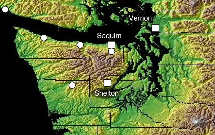
Three tiltmeters are currently operating (squares below). Nearby PBO strainmeters have been installed by UNAVCO (circles). Click site on the map below to view data and details of each tiltmeter.
A long baseline tiltmeter must follow a contour since it is difficult to excavate trenches deeper than 2.5 m. Ideal sites consist of flat ground covered in sands, clays or volcanic ash. Ideally the ends of the tiltmeter will be in a region that is well drained although flat ground usually means a propensity to flooding and our sensors must operate submerged for extended periods.
Although tiltmeters are up to 500 m long they are almost invisible from the surface. The tiltmeter consists of two arms approximately at right angles, in an L-shape plan view. The sensors are roughly 2 m underground and operate in 1.5 m diameter vaults accessed via concrete manhole lids. A low pole near each vault supports a radio modem through which data are transmitted to a data-logging computer operated nearby.
Power to each tiltmeter comes through an AC hookup (120V at 0.2 Amp - equivalent to a 25W light bulb), or from a solar panel (12 V at 250 mA). The instruments are maintained by Rex Flake at Central Washington University.