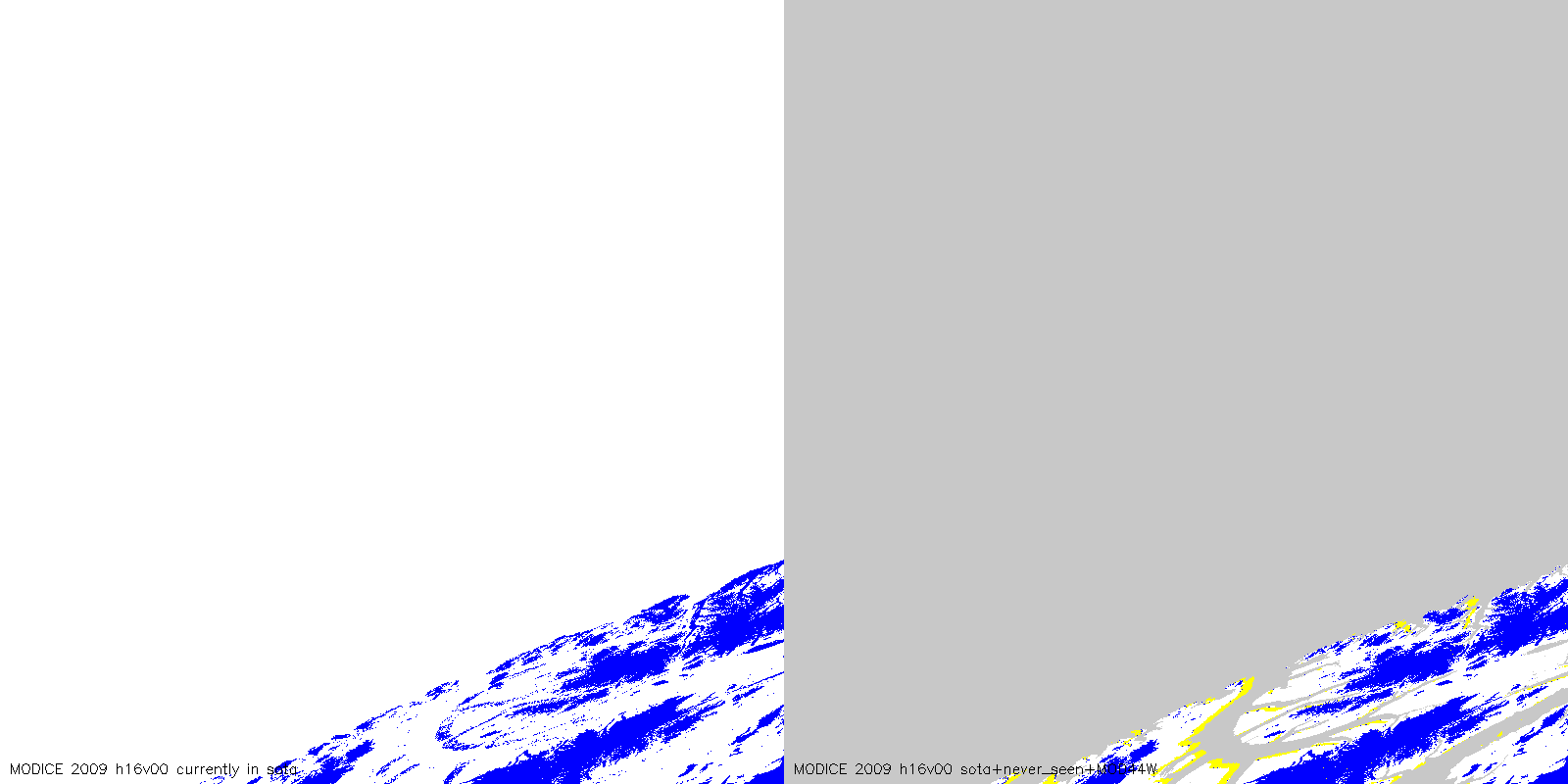
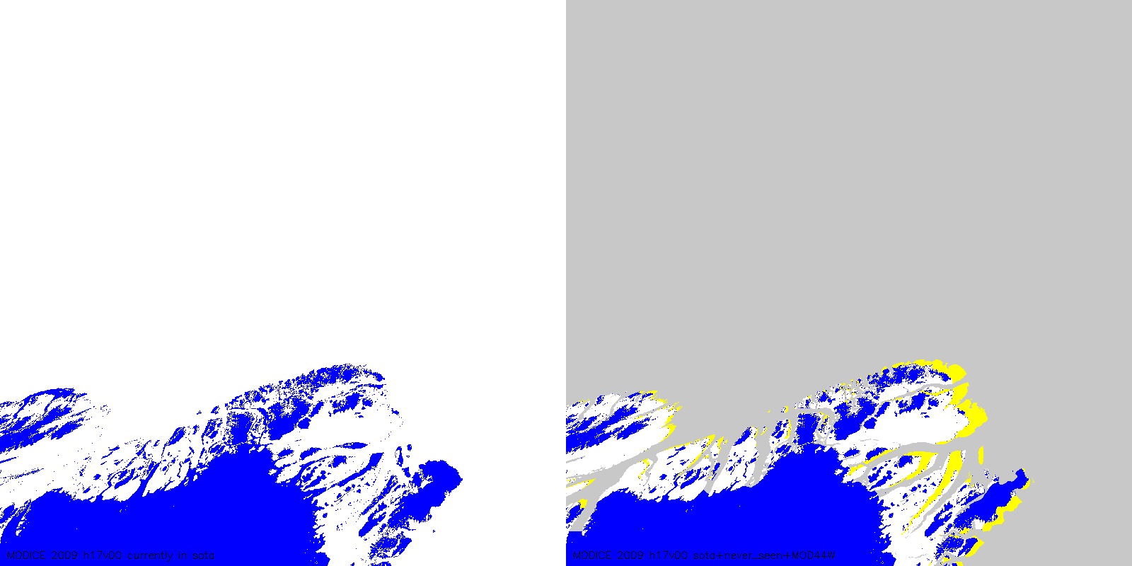
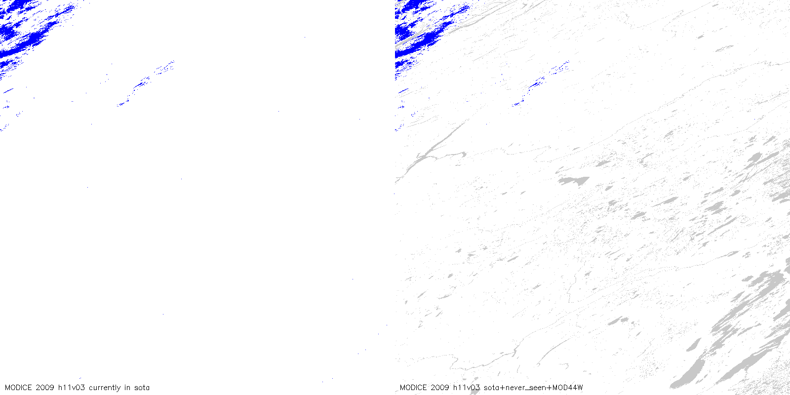
| MODICE.v0.3, 2009: (blue=ice, yellow=never_seen, grey=water, white=ice-free land | v00 tiles only: with reprocessing where scag ignores MOD09GA land mask (fixes georegistration issues above 80 N) |
 |
 |
 |
 |
 |
 |
 |
 |
 |
|
 |
|
 |
|
 |
|
 |
|
 |
|
 |
|
 |
|
 |
|
 |
|
 |
|
 |
|
 |
|
 |
|
 |
|
 |
|
 |
|
 |
|
 |
|
 |
|
 |
|
 |
|
 |
|
 |
|
 |
|
 |
|
 |
|
 |
|
 |
|
 |
|
 |
|
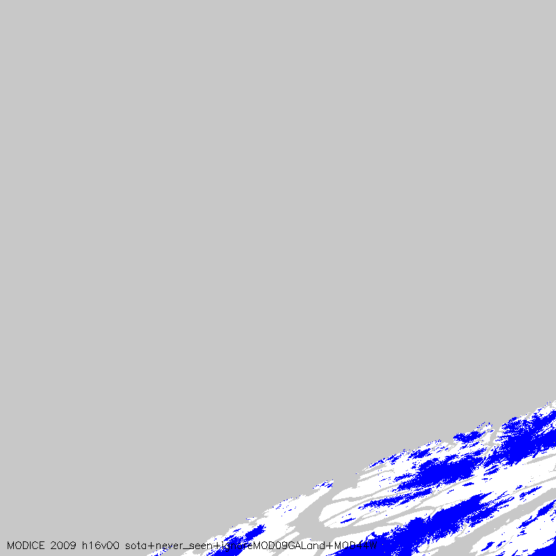
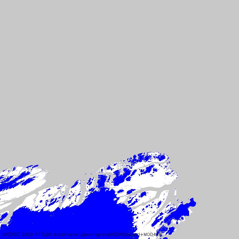
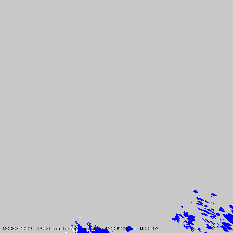
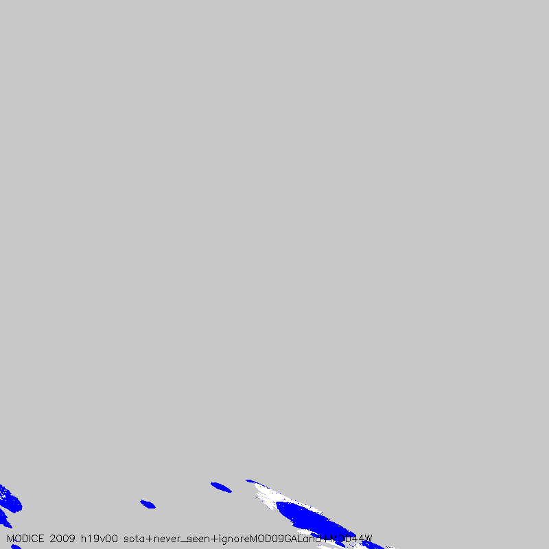
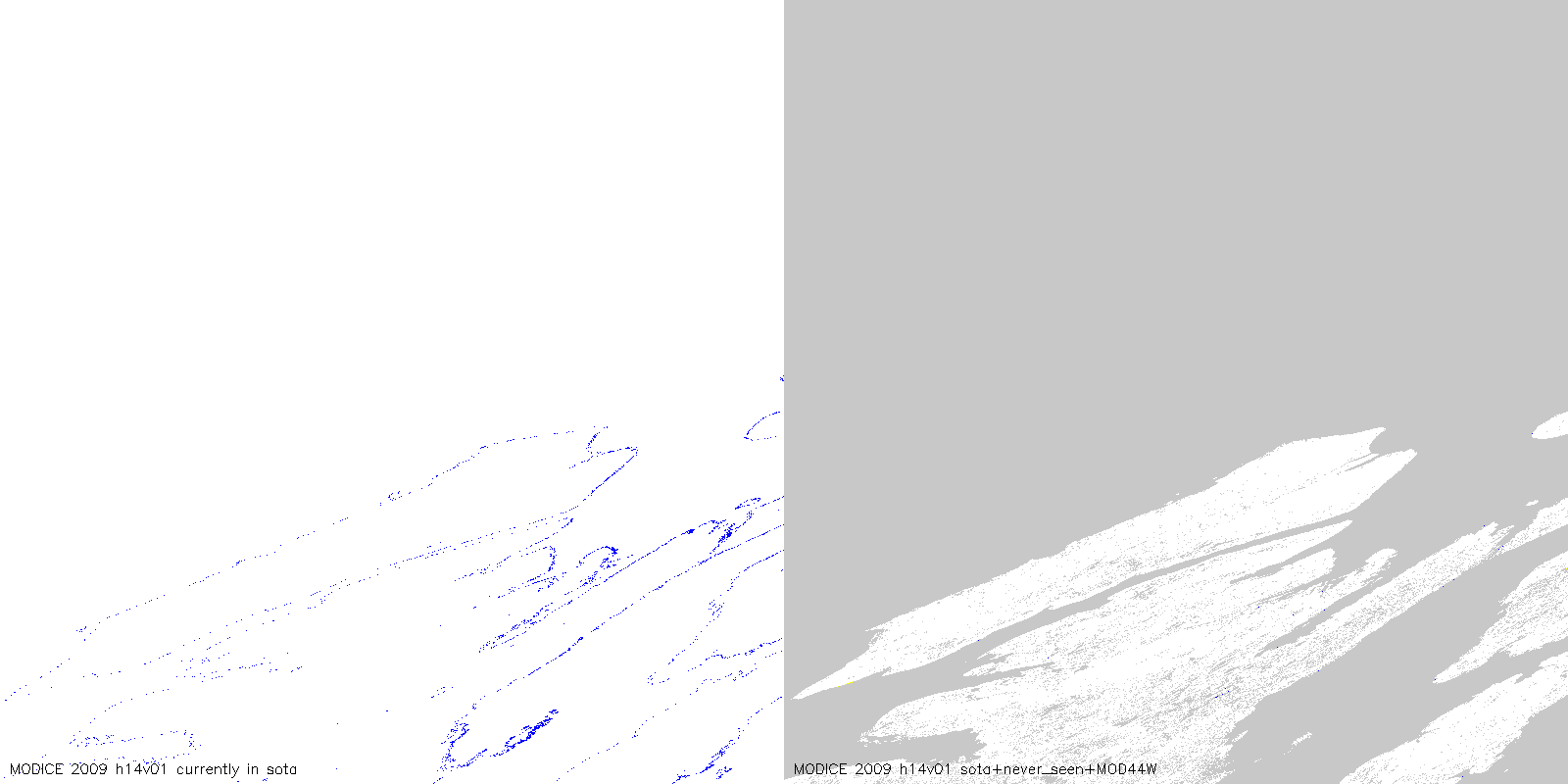
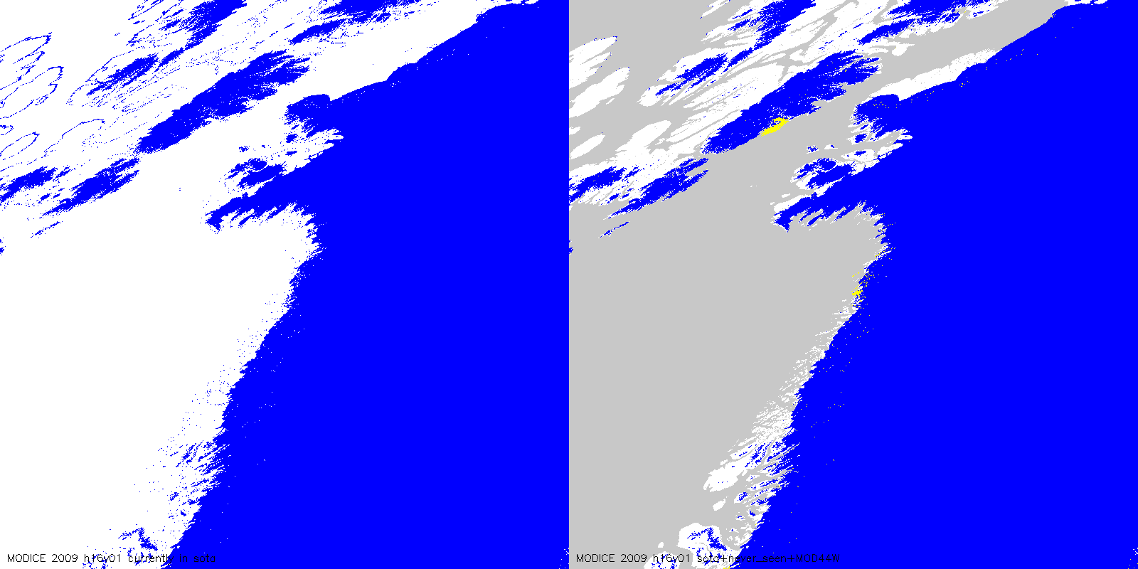
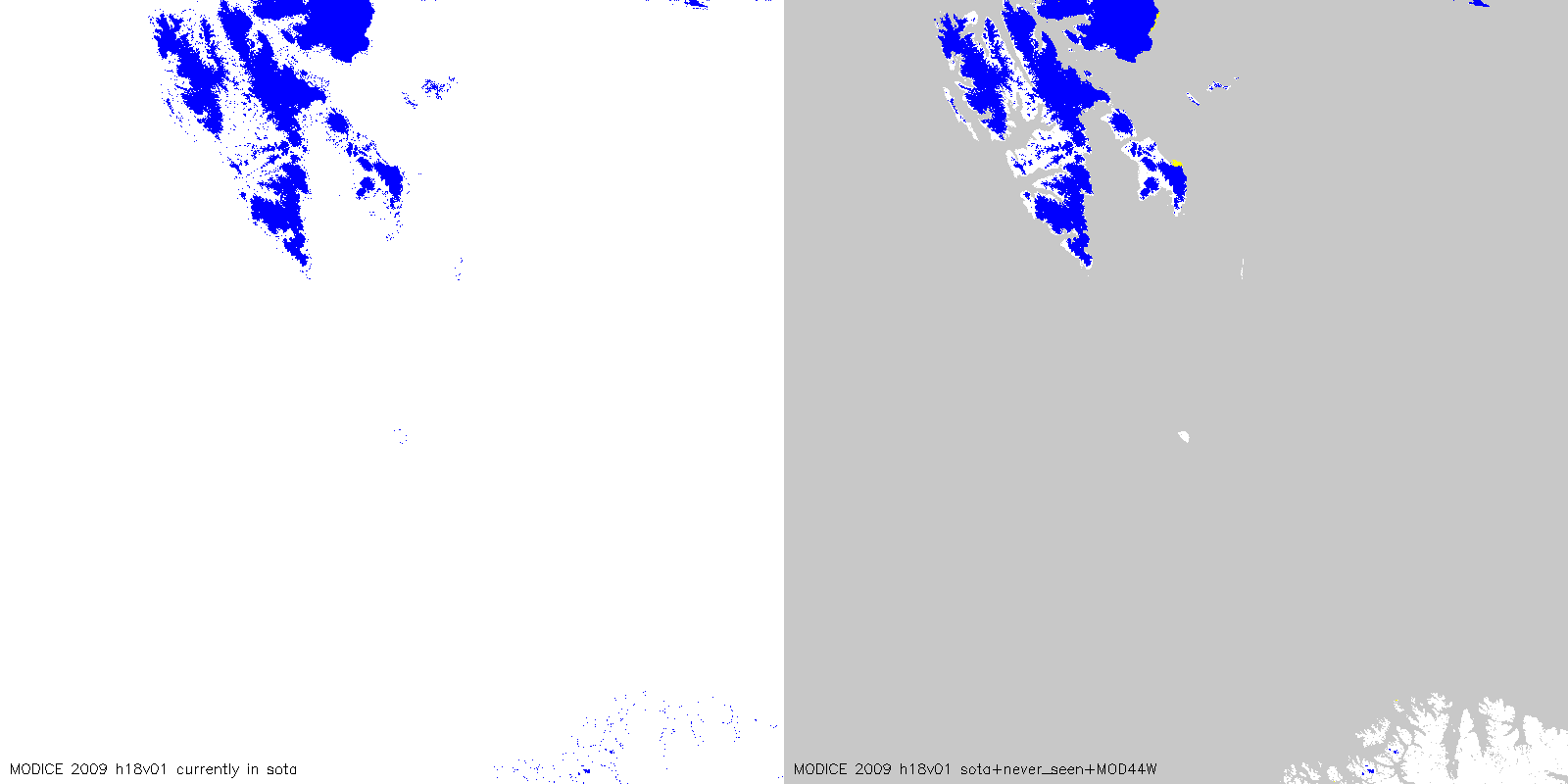
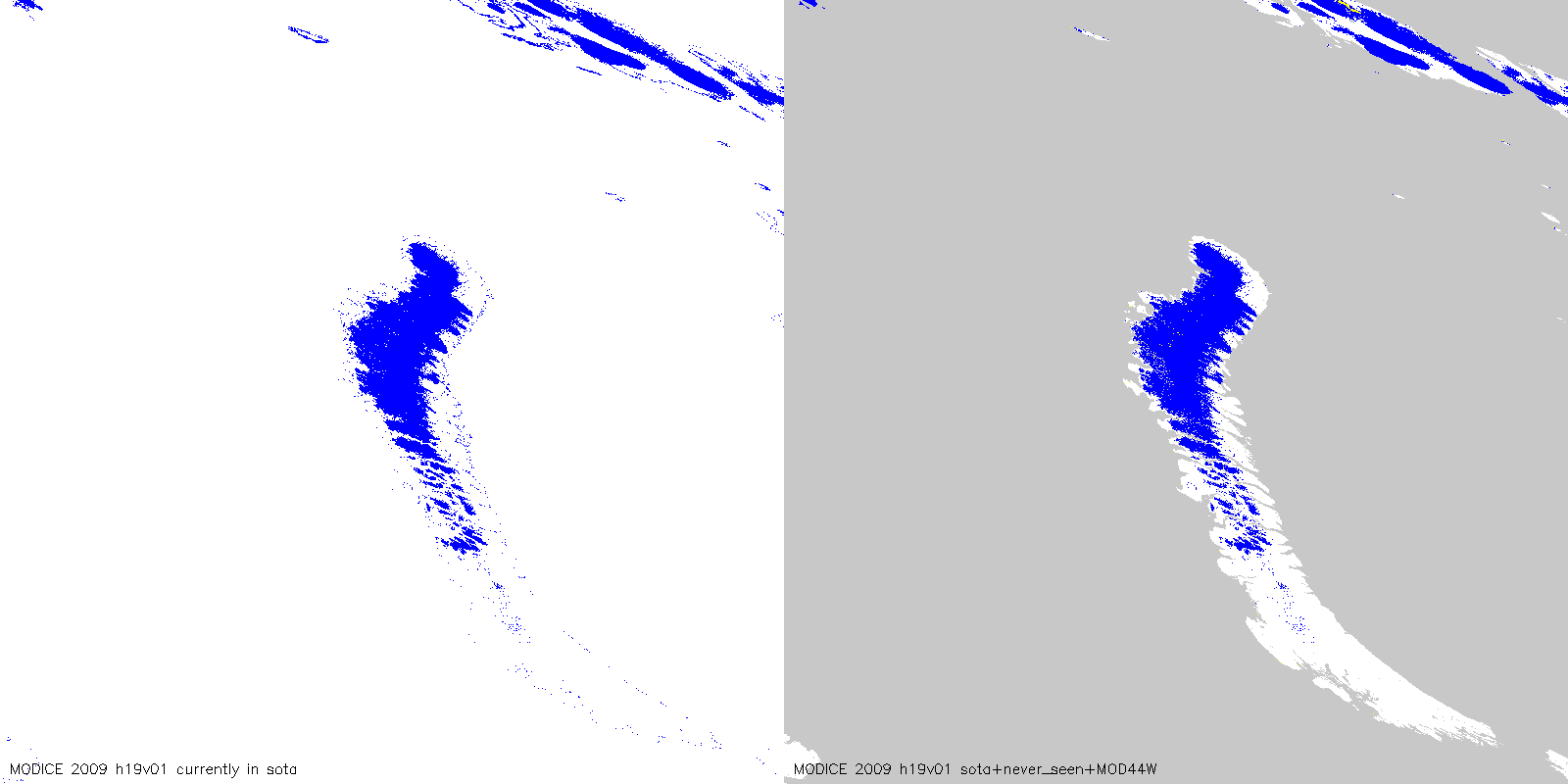
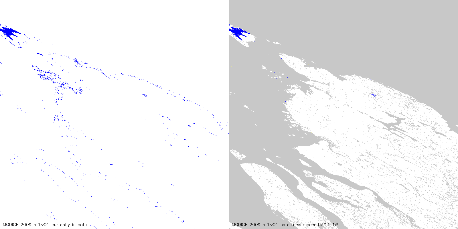
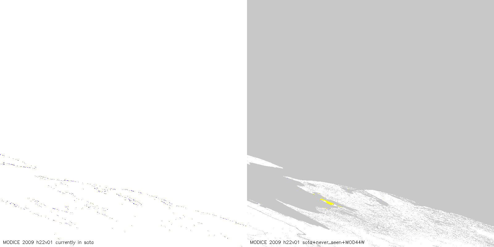
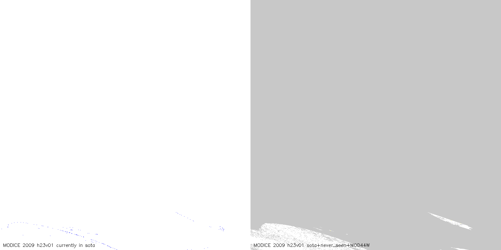
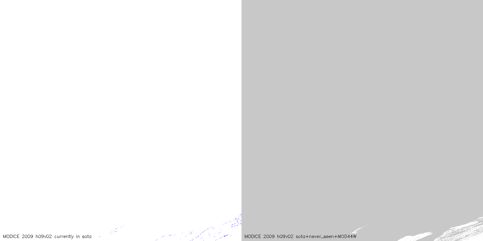
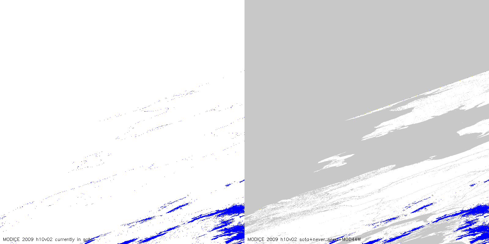
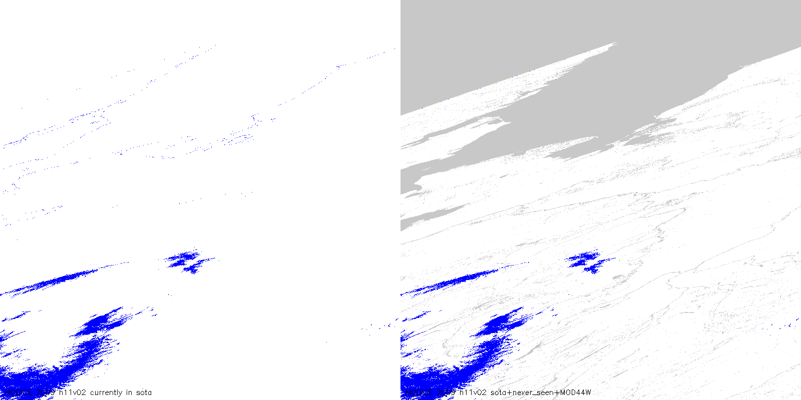
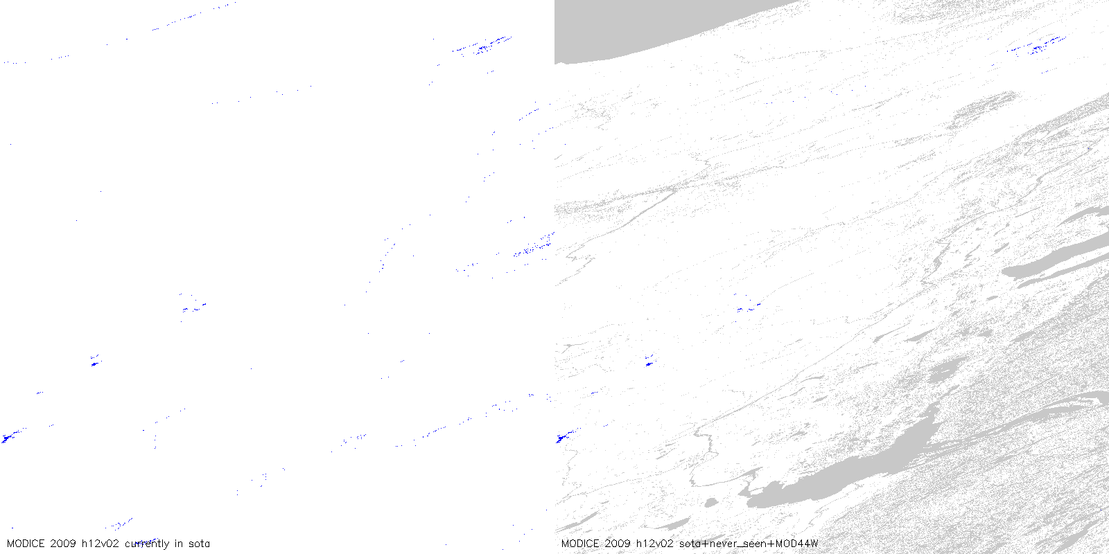
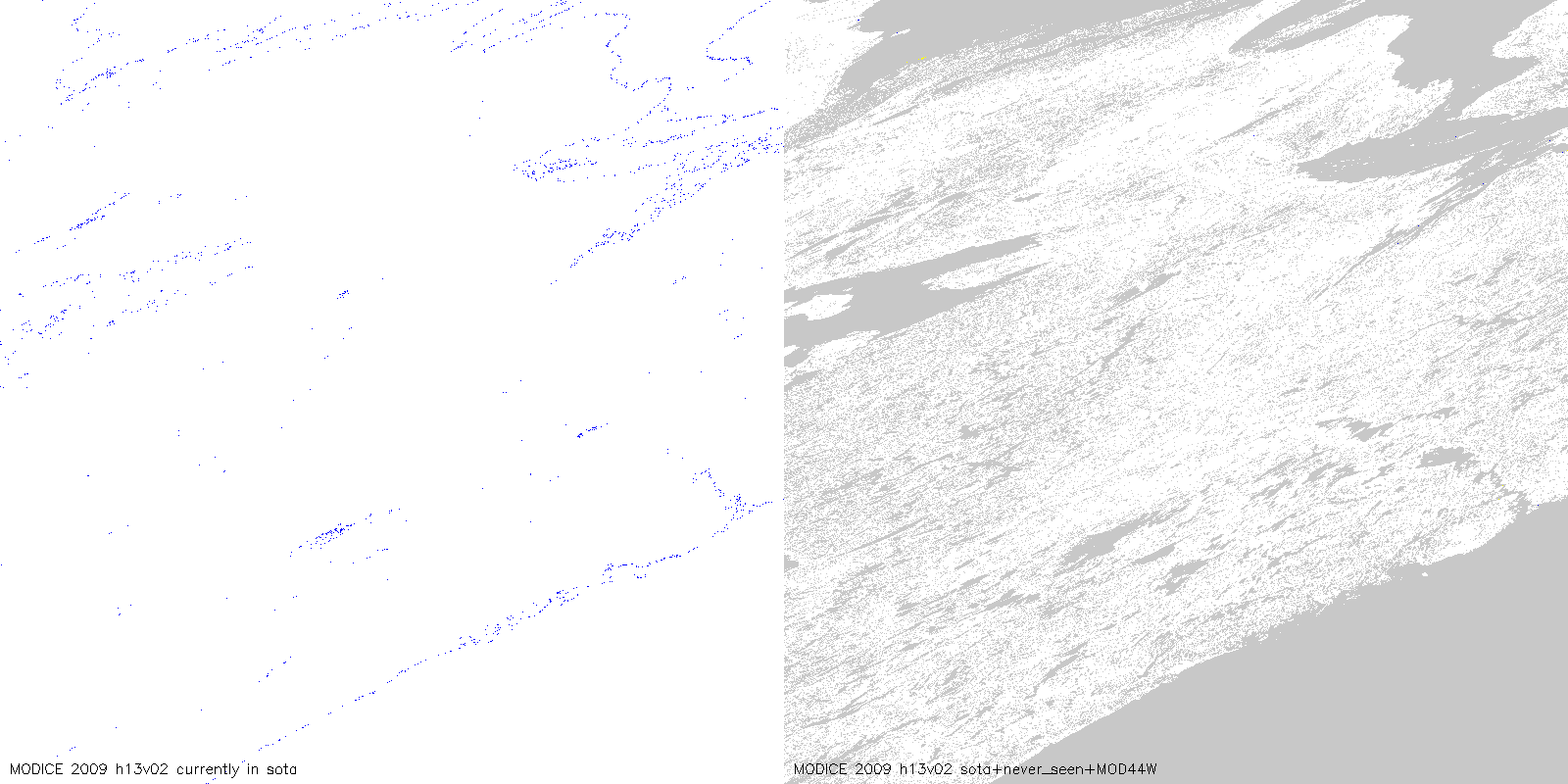
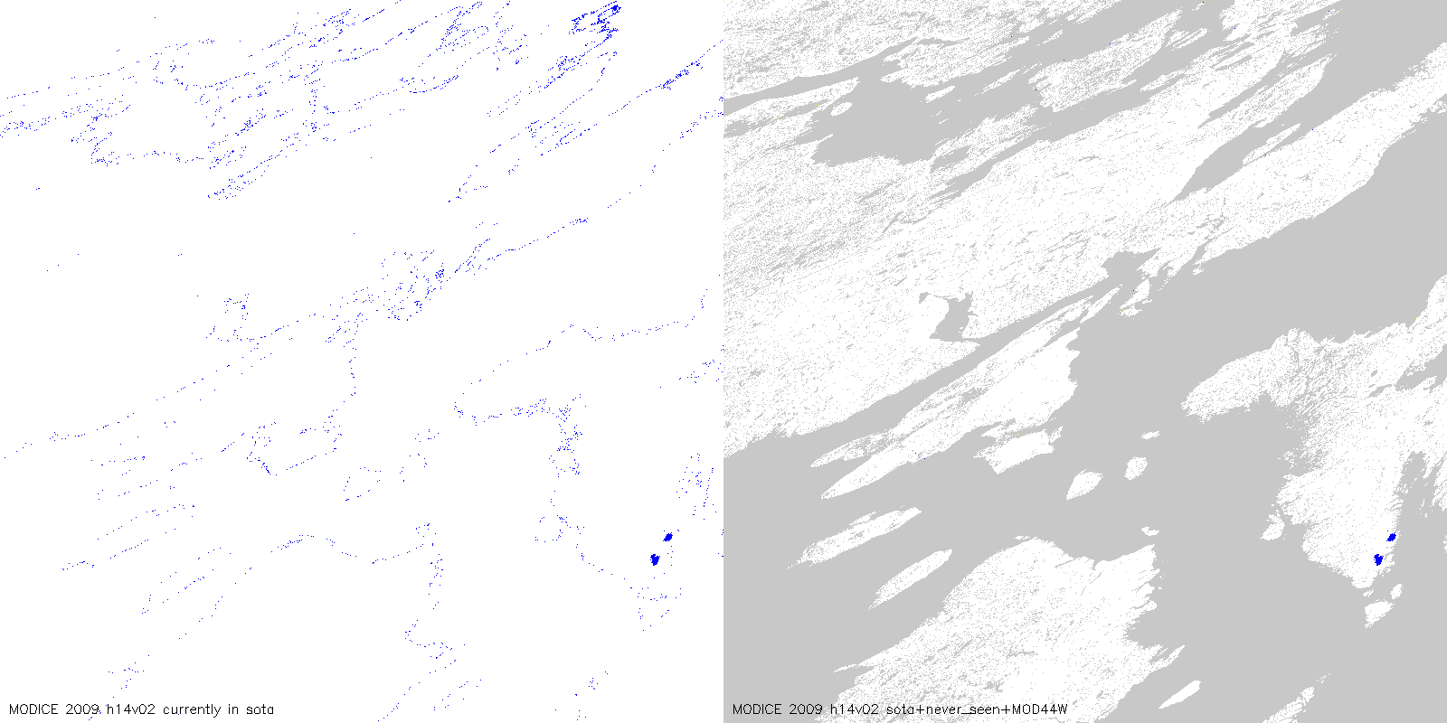
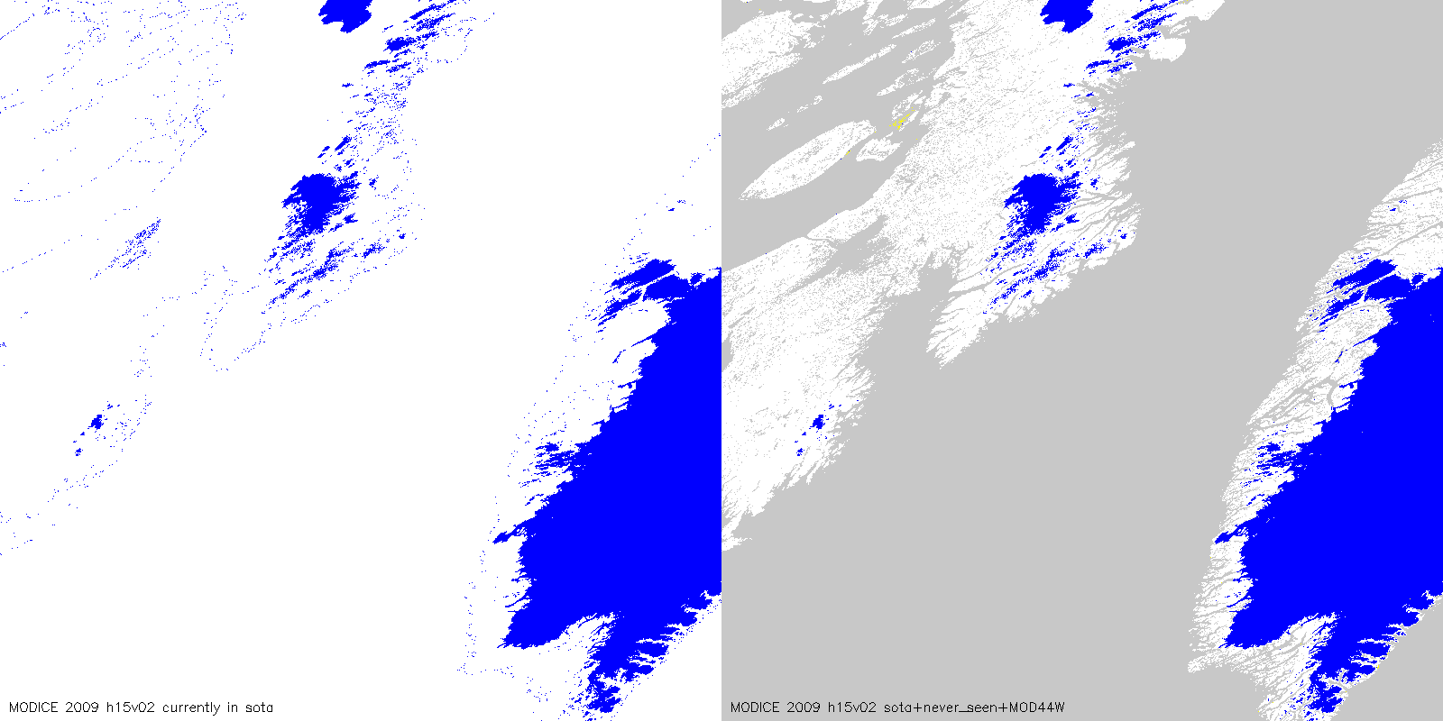
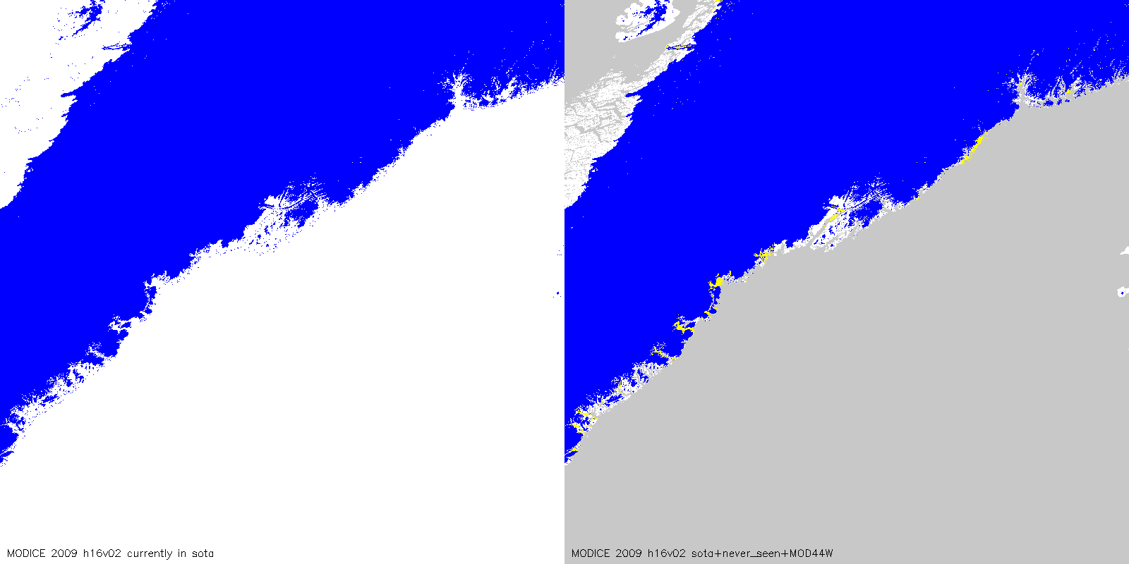
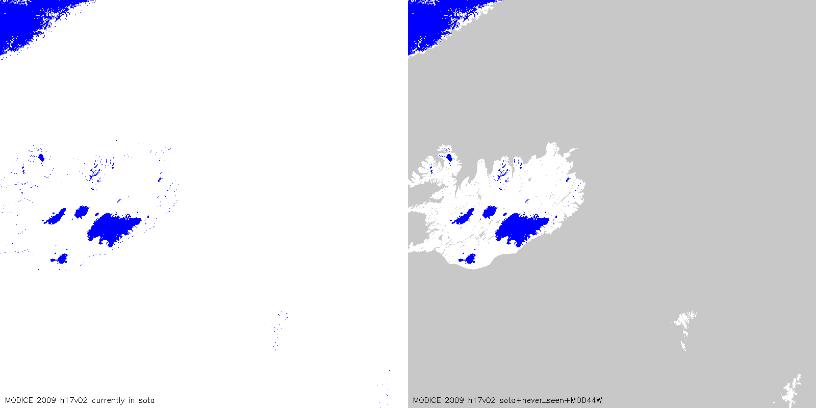
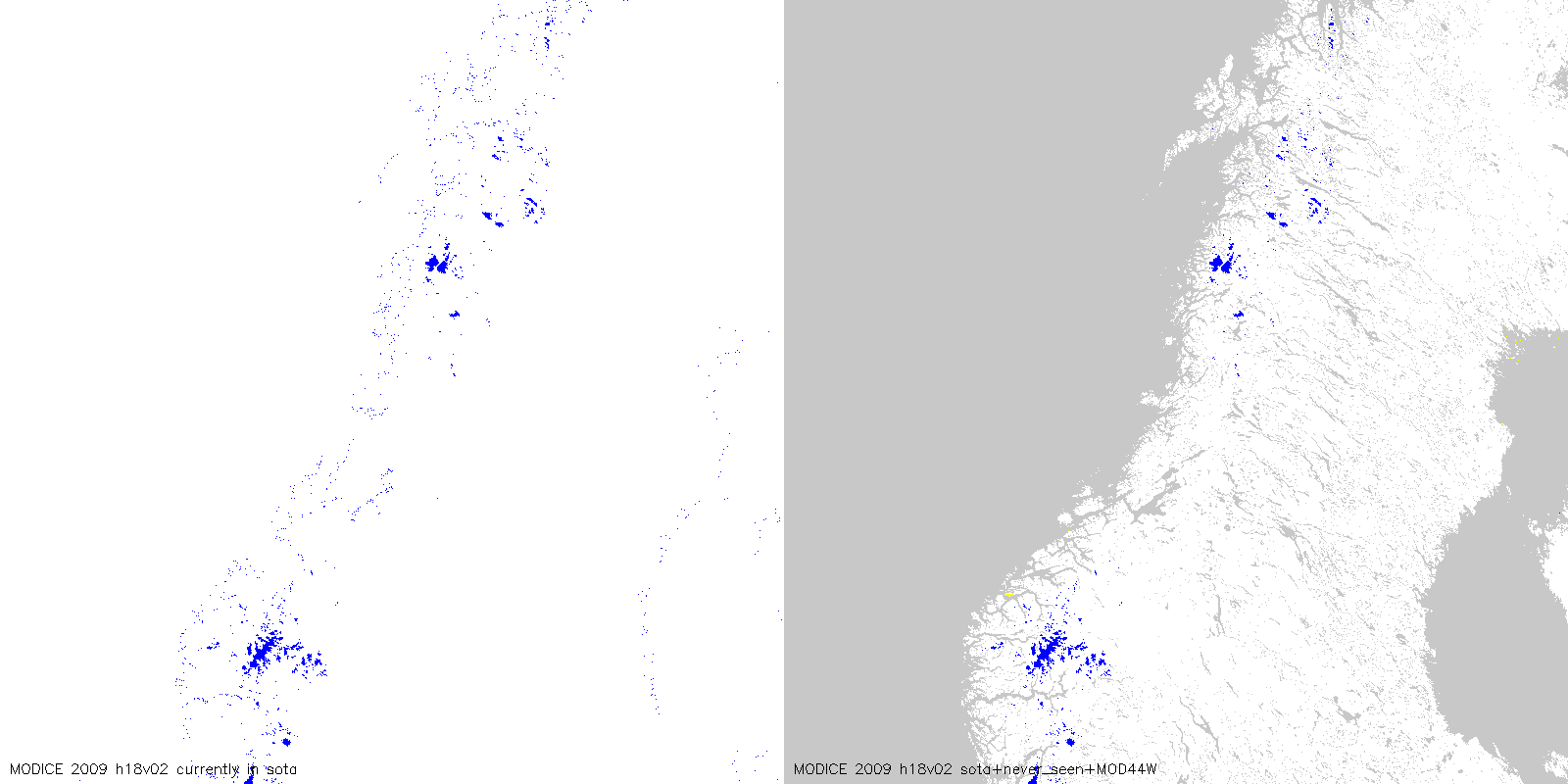
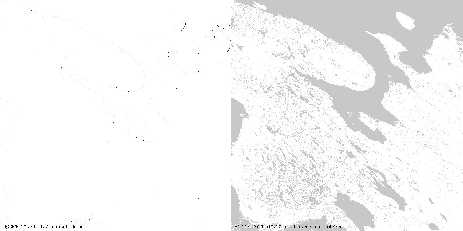
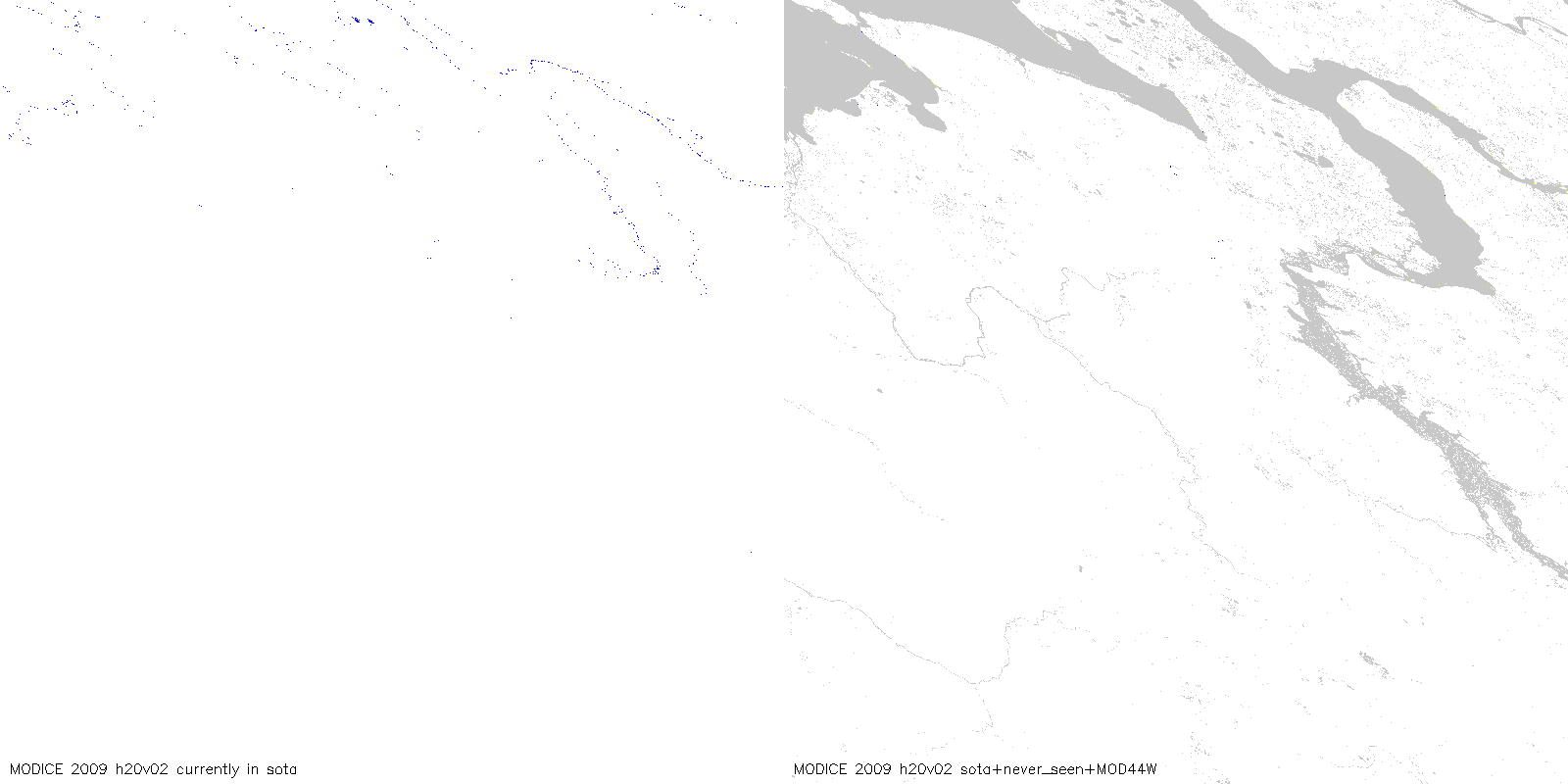
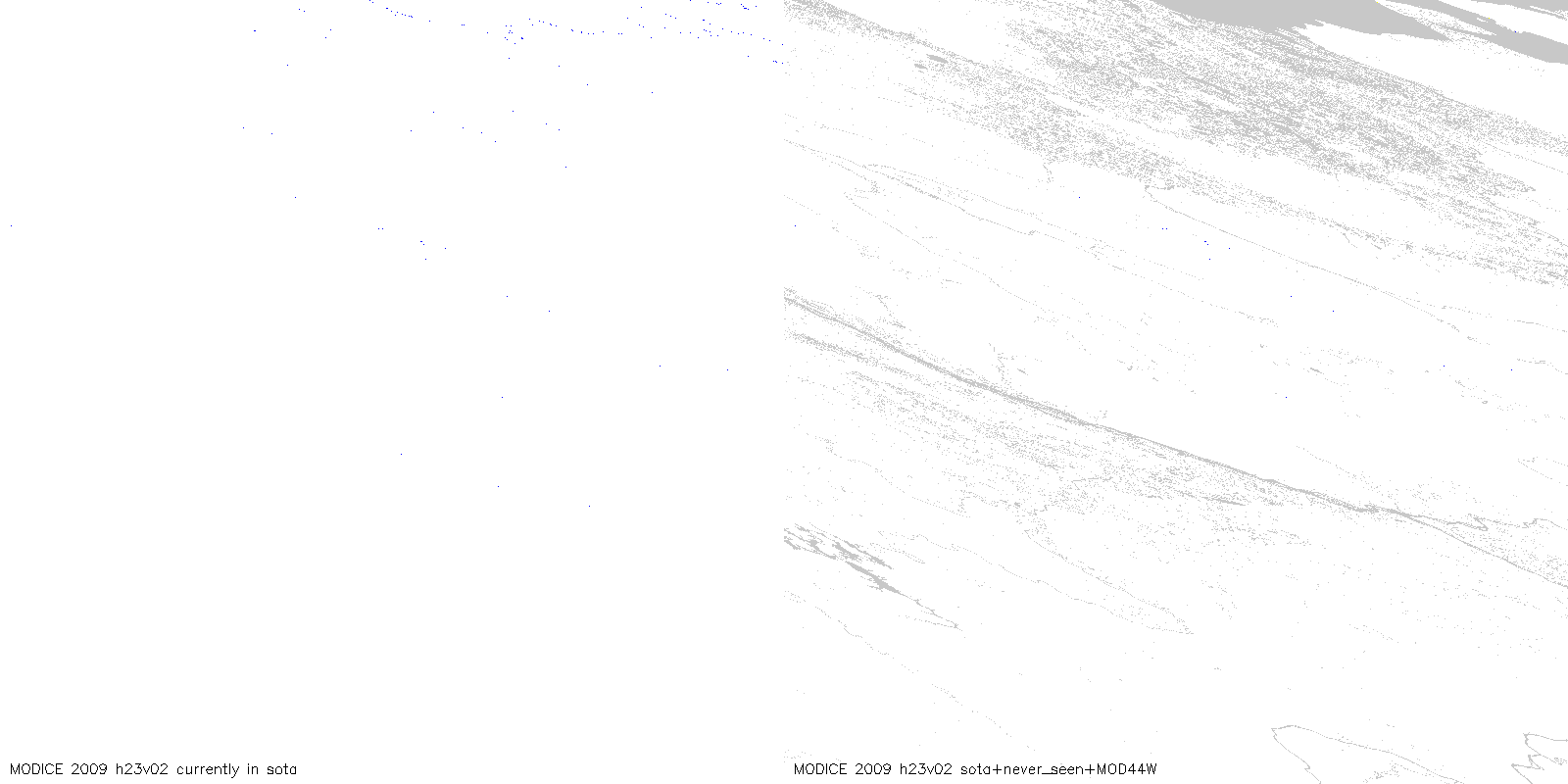
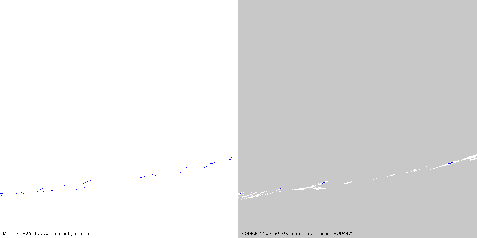
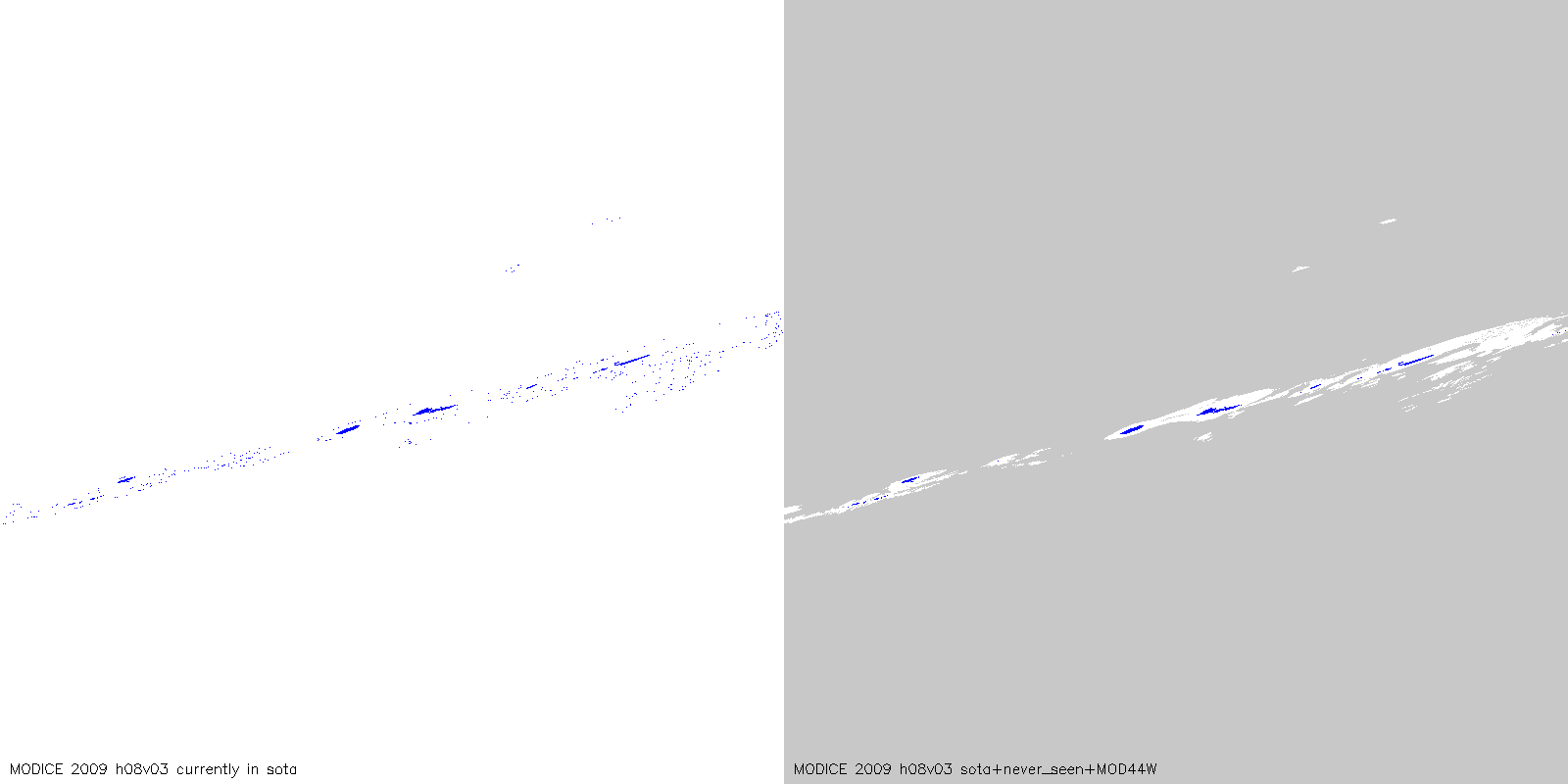
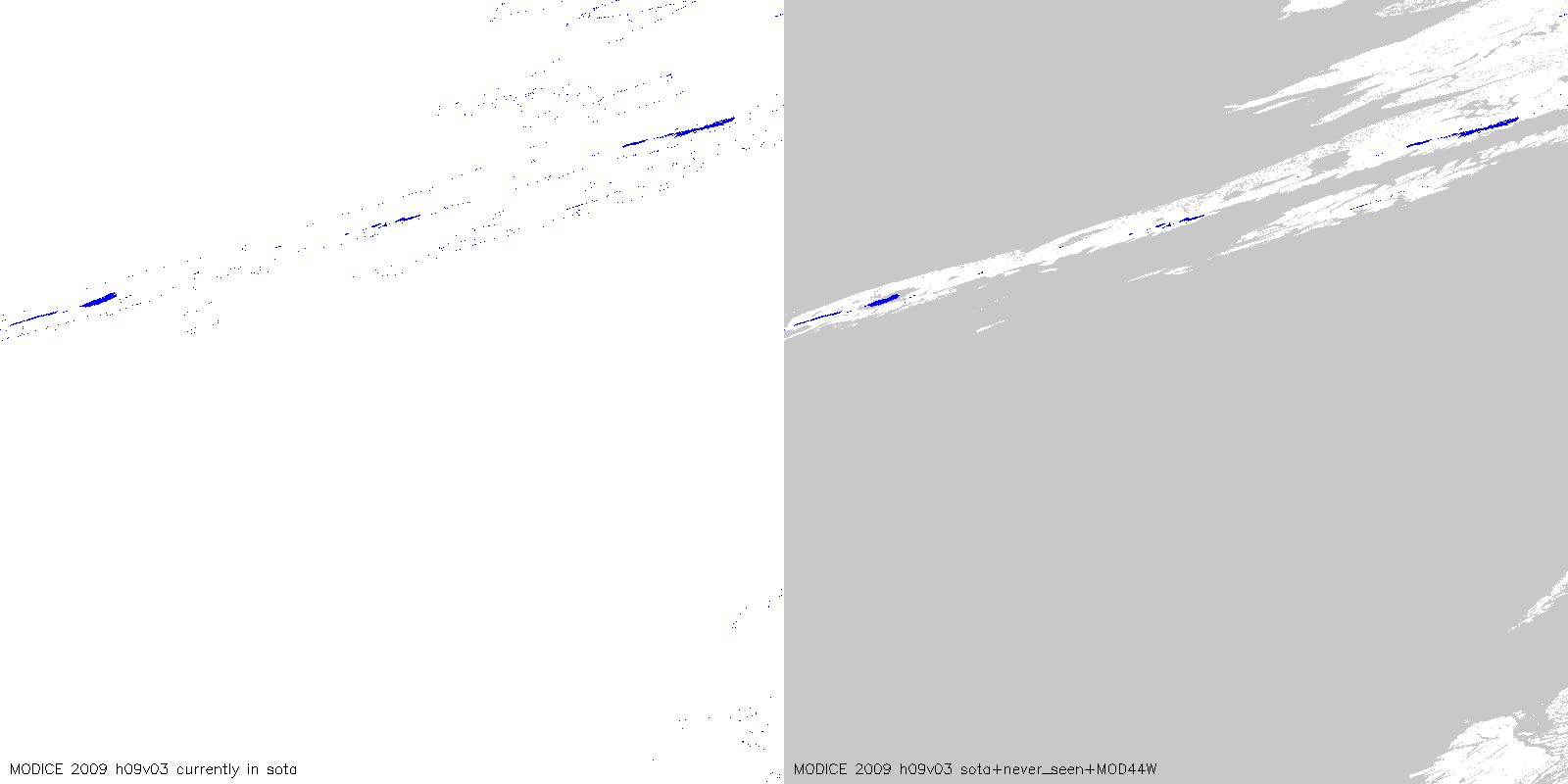
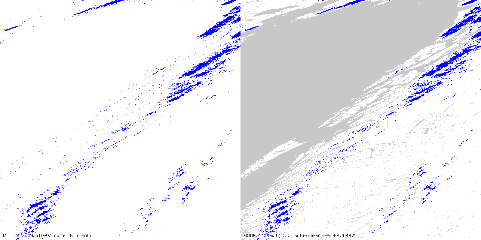
MODICE with MOD44W water mask |
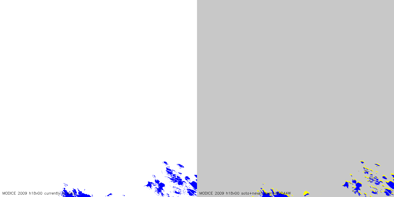
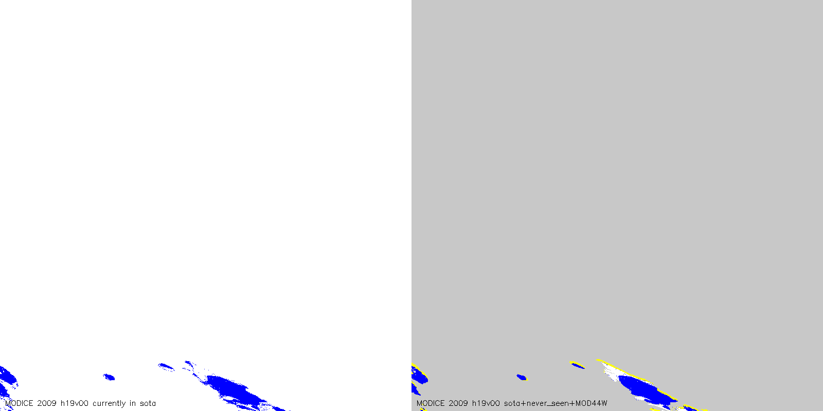
MODICE.v0.3, 2009, in the High Arctic, with and without the MOD44W water mask. Columns contain:
Note current problem with MODICE noise around coastlines. This is scag signal that is being calculated over MOD09GA non-ocean (coast and inland water pixels). It is addressed by masking with the MOD44W water mask.
Also evident in the center column is the georegistration problem at the v00 tile. This is addressed by the new processing in the third column.
| MODICE.v0.3, 2009: (blue=ice, yellow=never_seen, grey=water, white=ice-free land | v00 tiles only: with reprocessing where scag ignores MOD09GA land mask (fixes georegistration issues above 80 N) |
|
|
|
|
|
|
|
|
|
|
|
|
|
|
|
|
|
|
|
|
|
|
|
|
|
|
|
|
|
|
|
|
|
|
|
|
|
|
|
|
|
|
|
|
|
|
|
|
|
|
|
|
|
|
|
|
|
|
|
|
|
|
|
|
|
|
|
|
|