MODICE Upper Indus, 2000-2010
|
MODICE Upper Indus, 2000-2010
(Click on any panel to see full resolution version. In the new window, if your browser displays a plus sign in a circle, click again for even more detail)
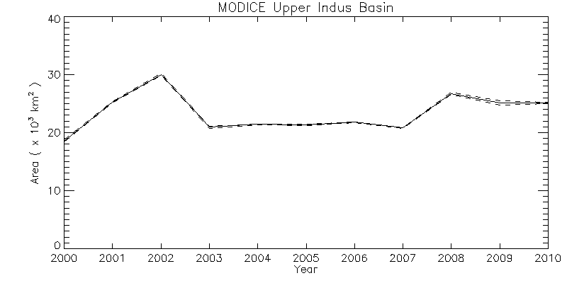
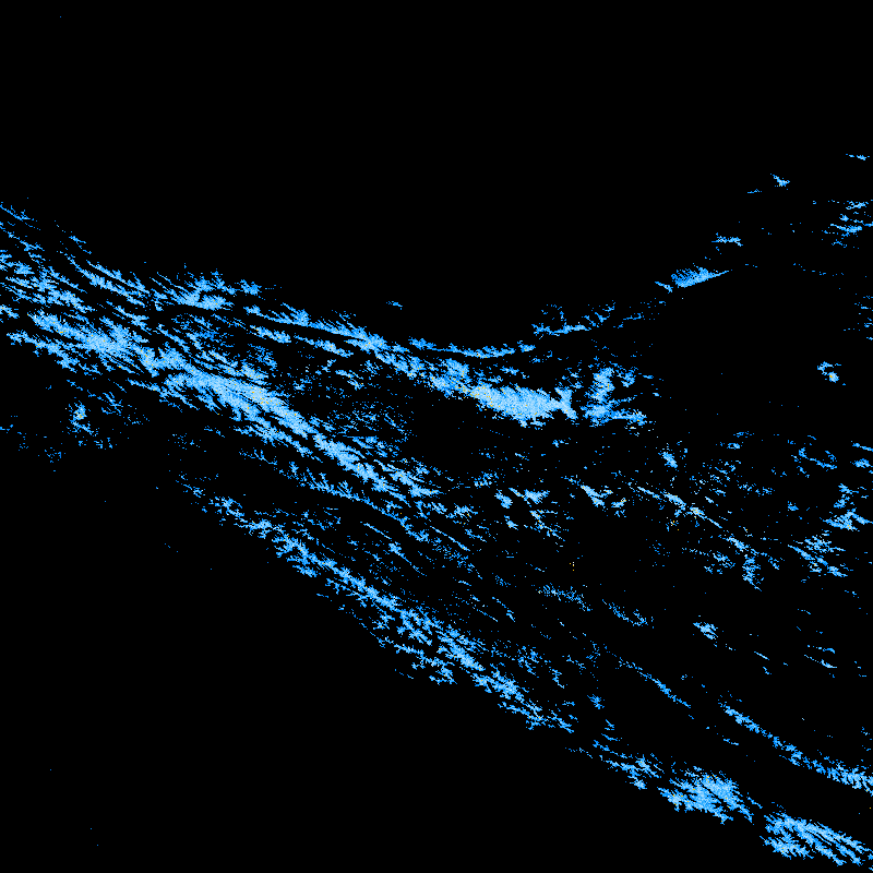
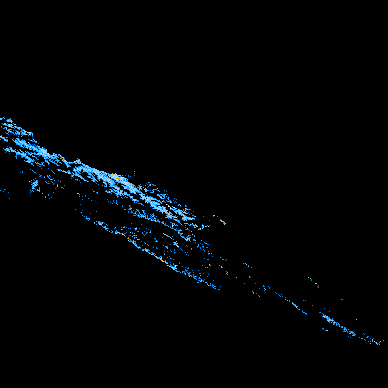
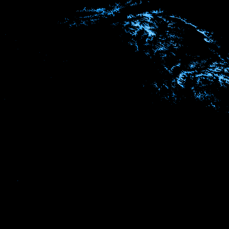
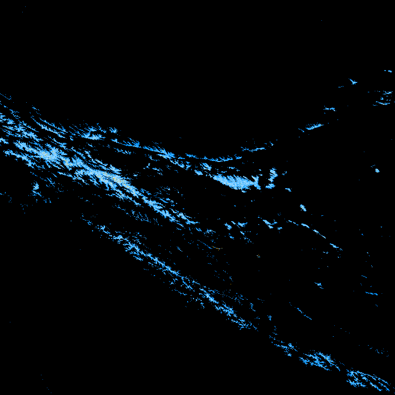
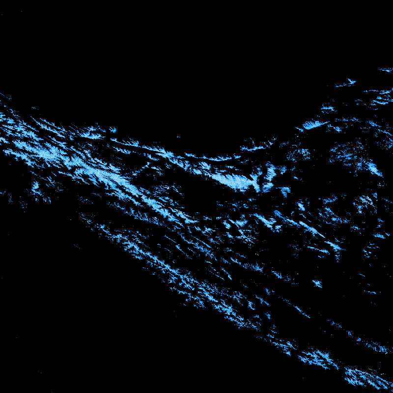
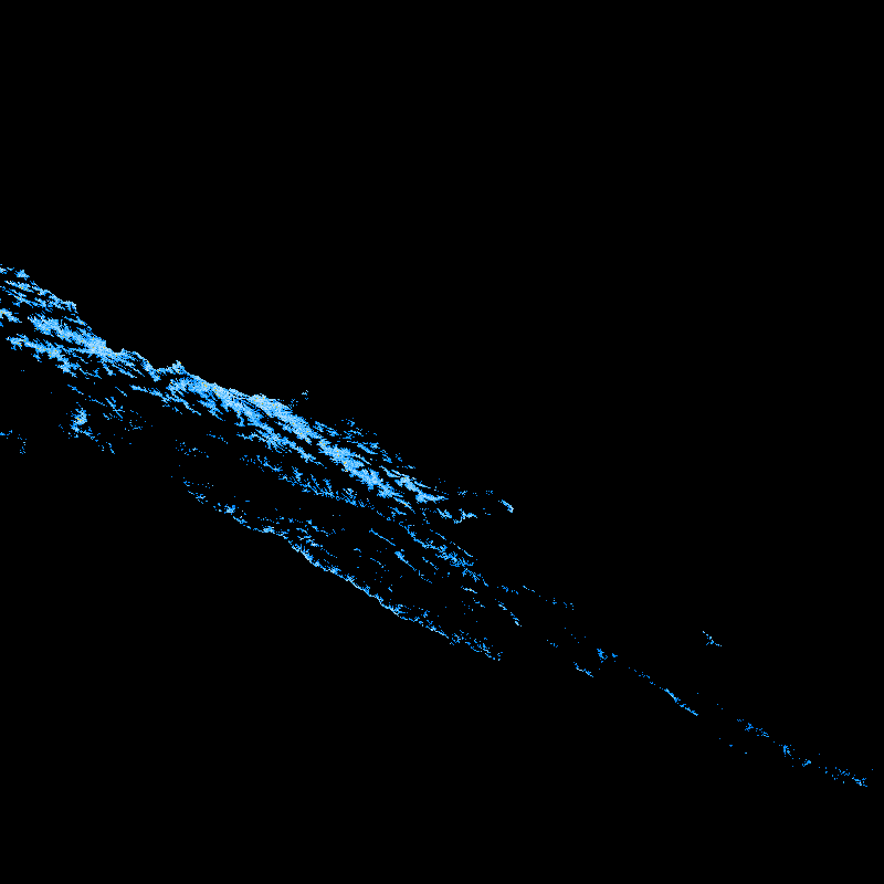
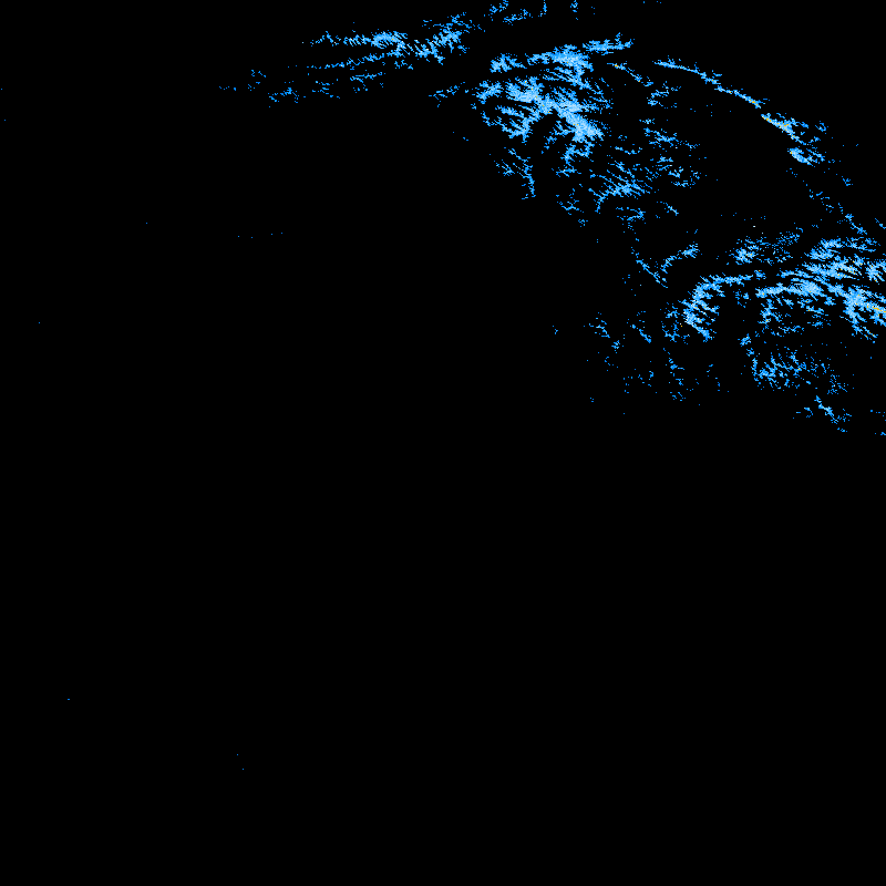
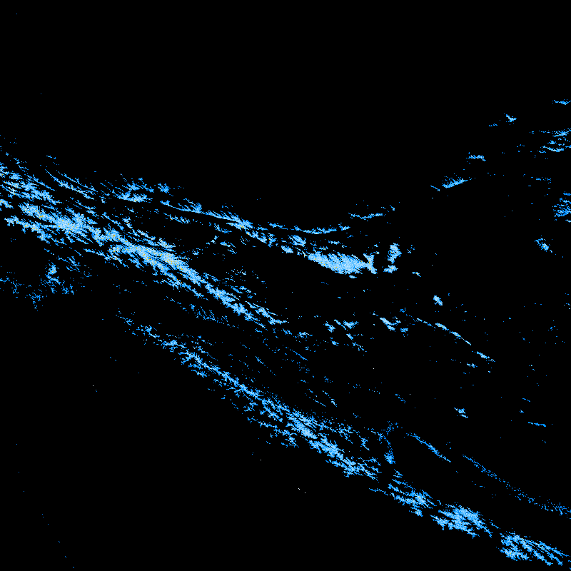
MODICE for Upper Indus tiles, h23v05 and h24v05, 2000-2010. Persistent ice zenith is +/- 25 degrees. Line plot shows total area MODICE, +/- "never_seen" pixels, clipped for area of the Upper Indus Basin (WB shapefile).
| Upper Indus Basin MODICE area (doing a quick search online, I found an ICIMOD publication at http://books.icimod.org/uploads/tmp/icimod-climate_change_impacts_on_the_water_resources_of_the_indus_basin:_.pdf that says "One third of the upper Indus basin lies above 5000m and a large part of this is glaciated: an estimated 15,000 sq.km within Pakistan alone, equivalent to some 2,750 cu.km of ice reserves." so this is in the ballpark, I think. |
 |
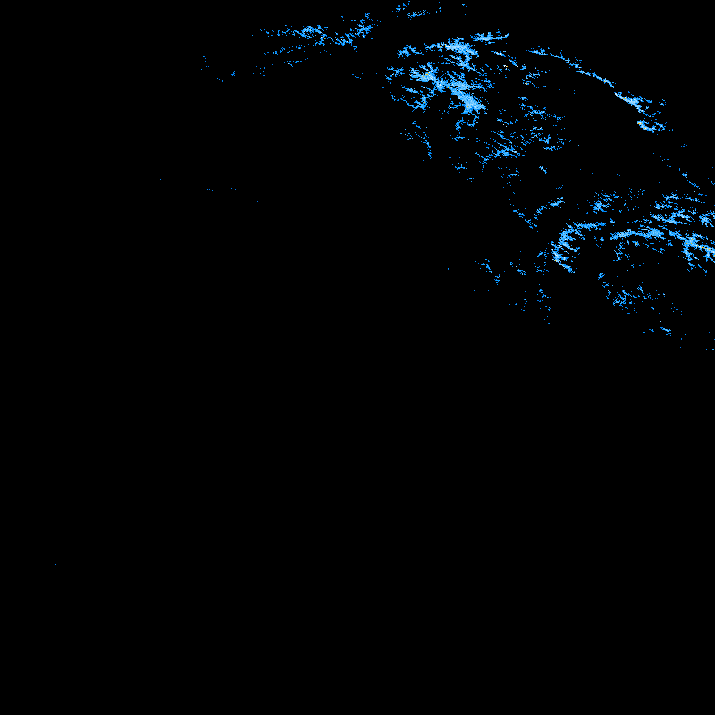
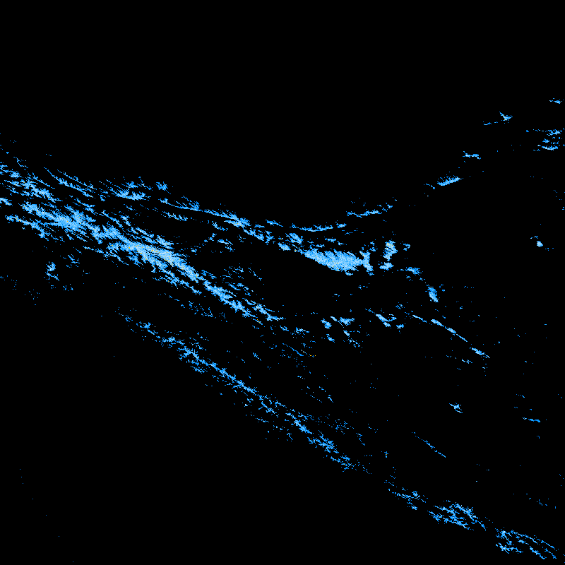
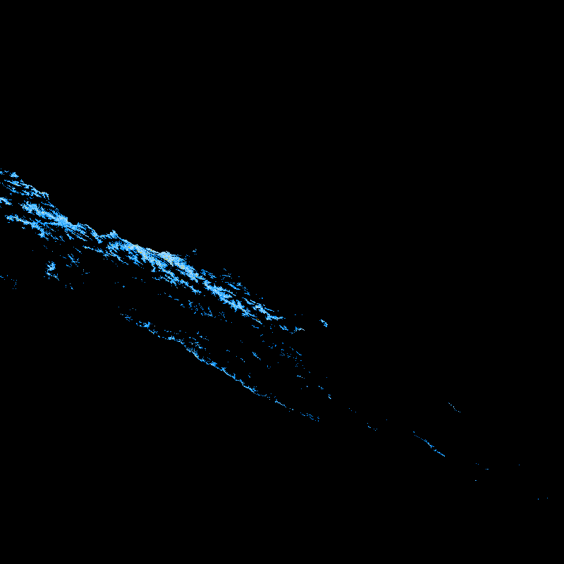
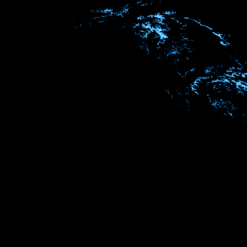
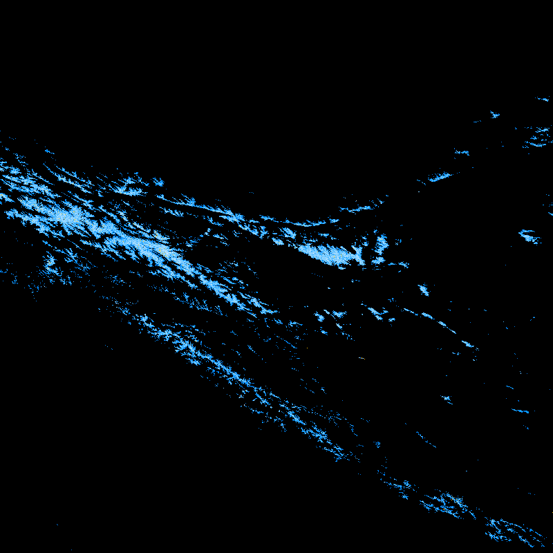
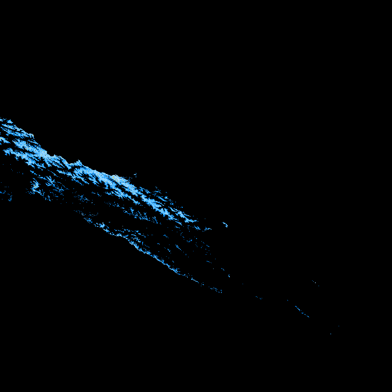
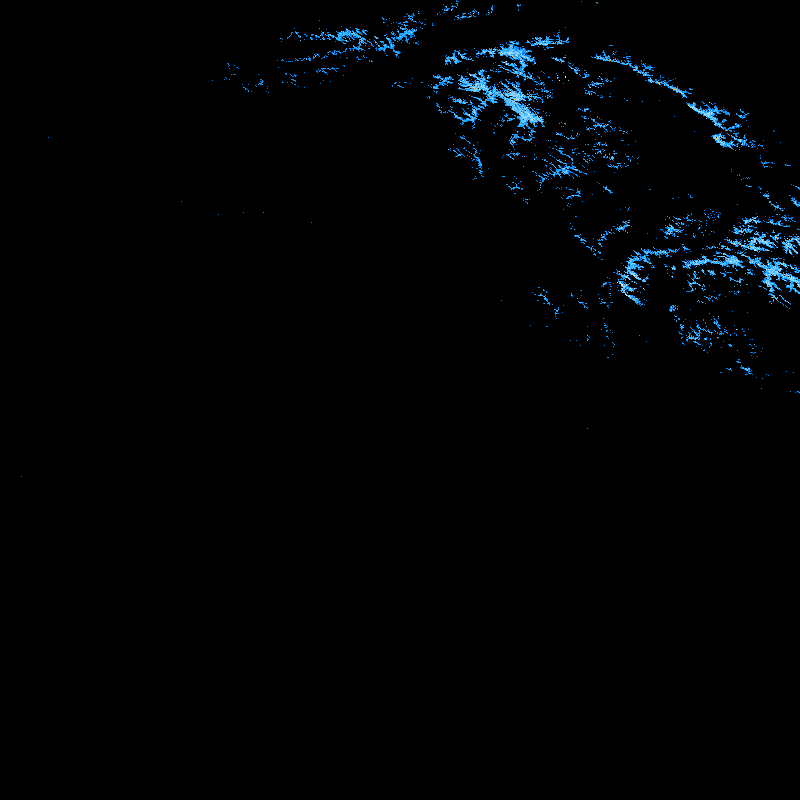
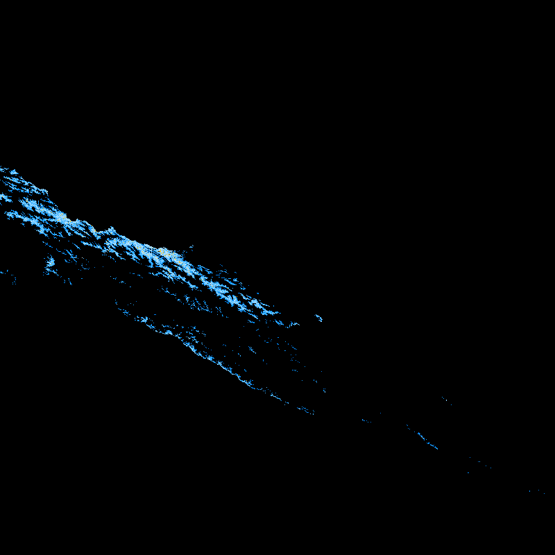
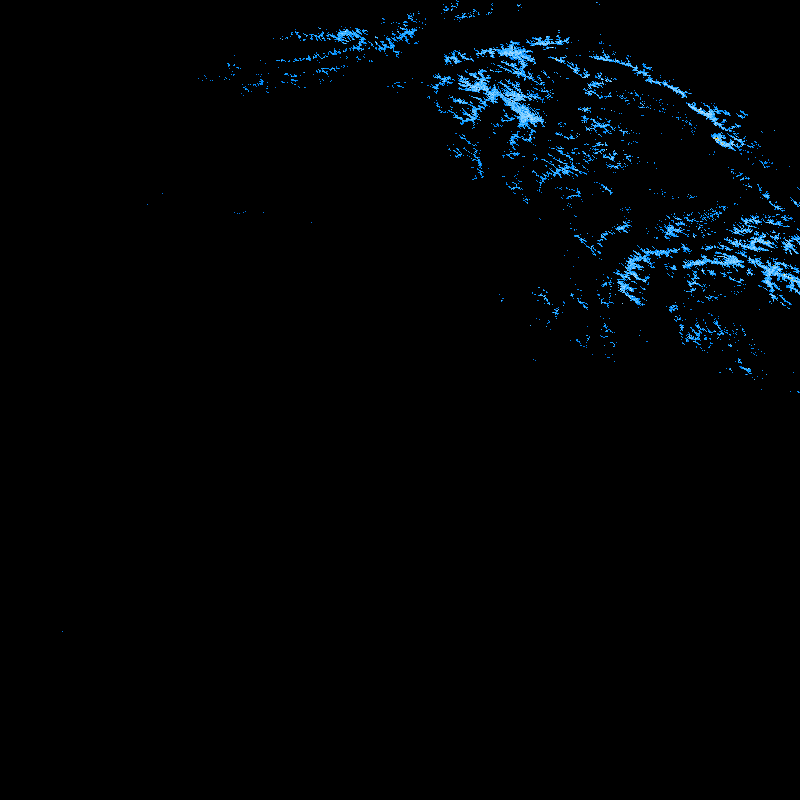
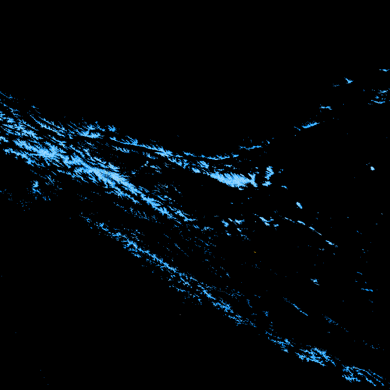
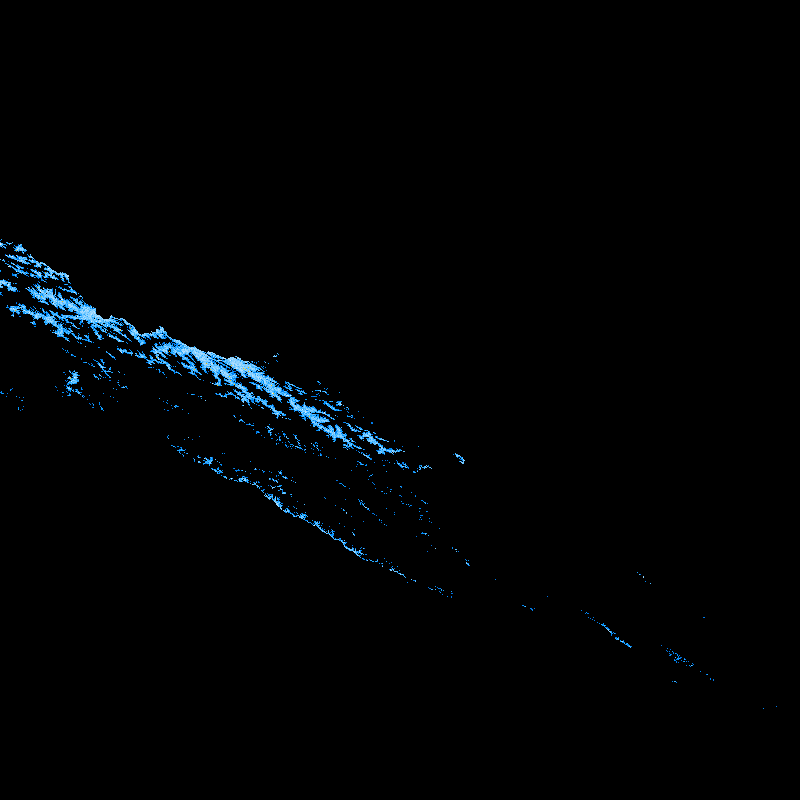
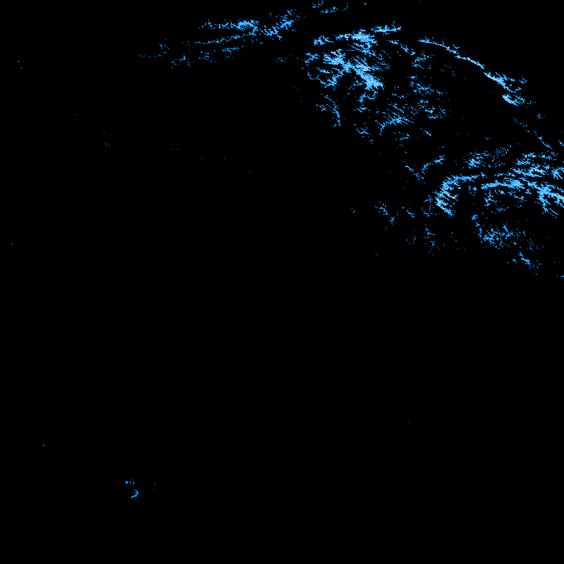
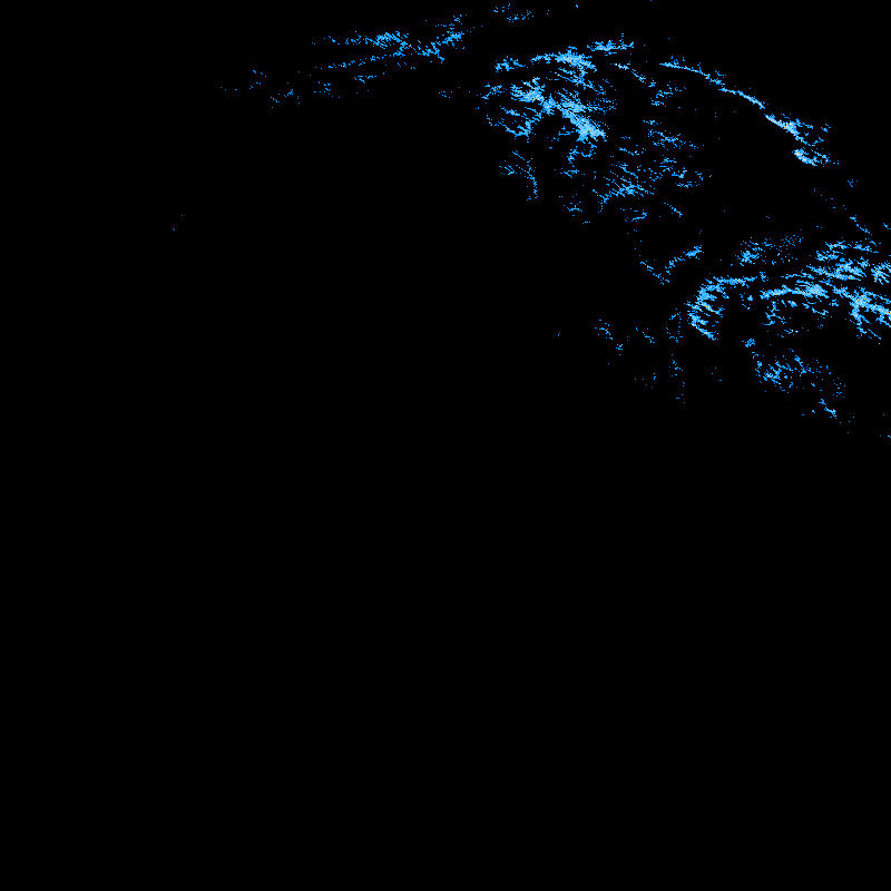
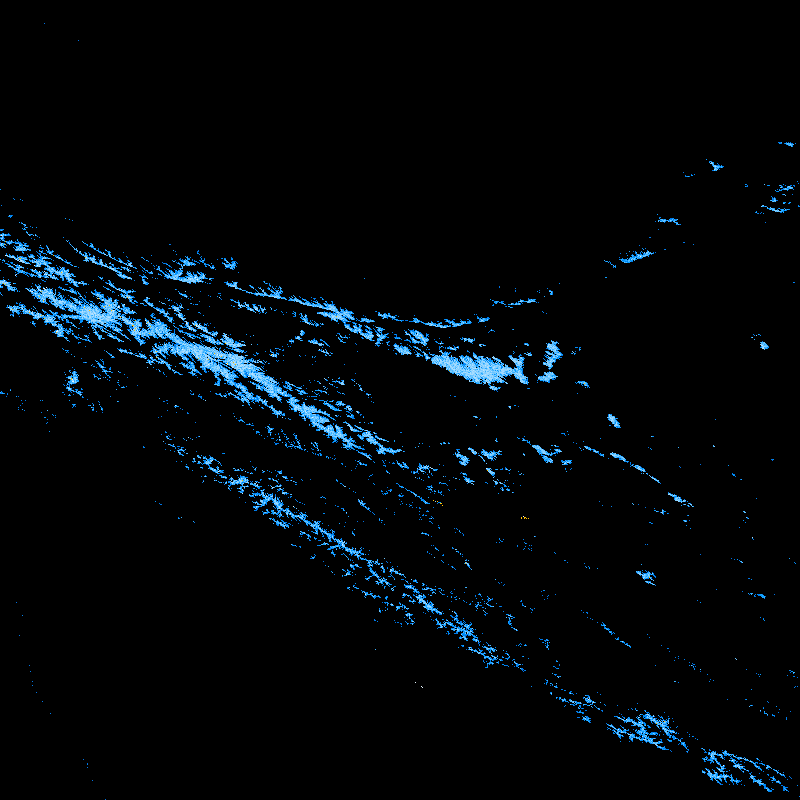
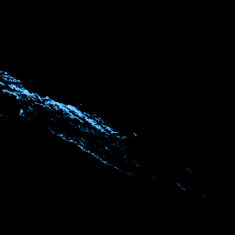
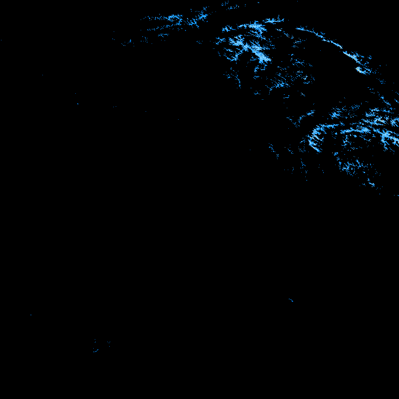
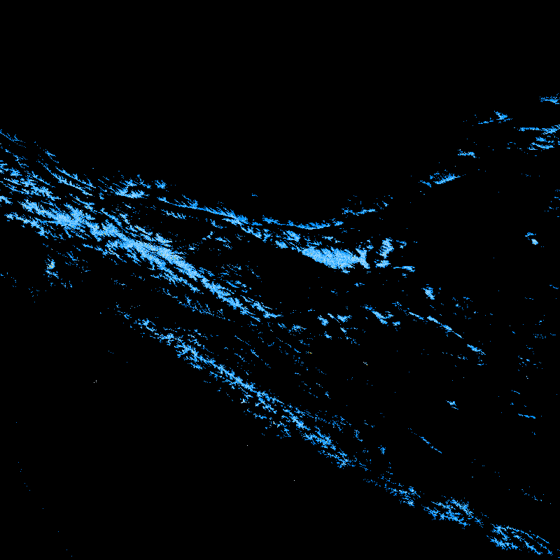
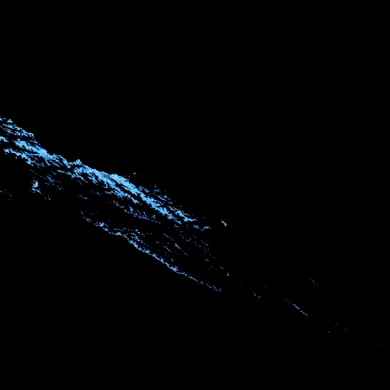
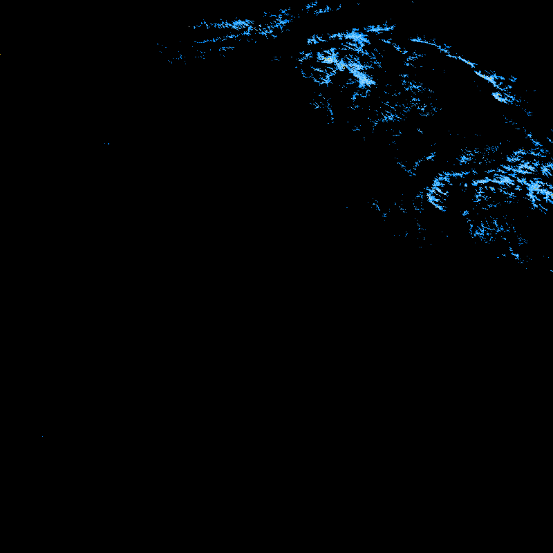
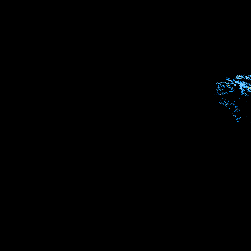
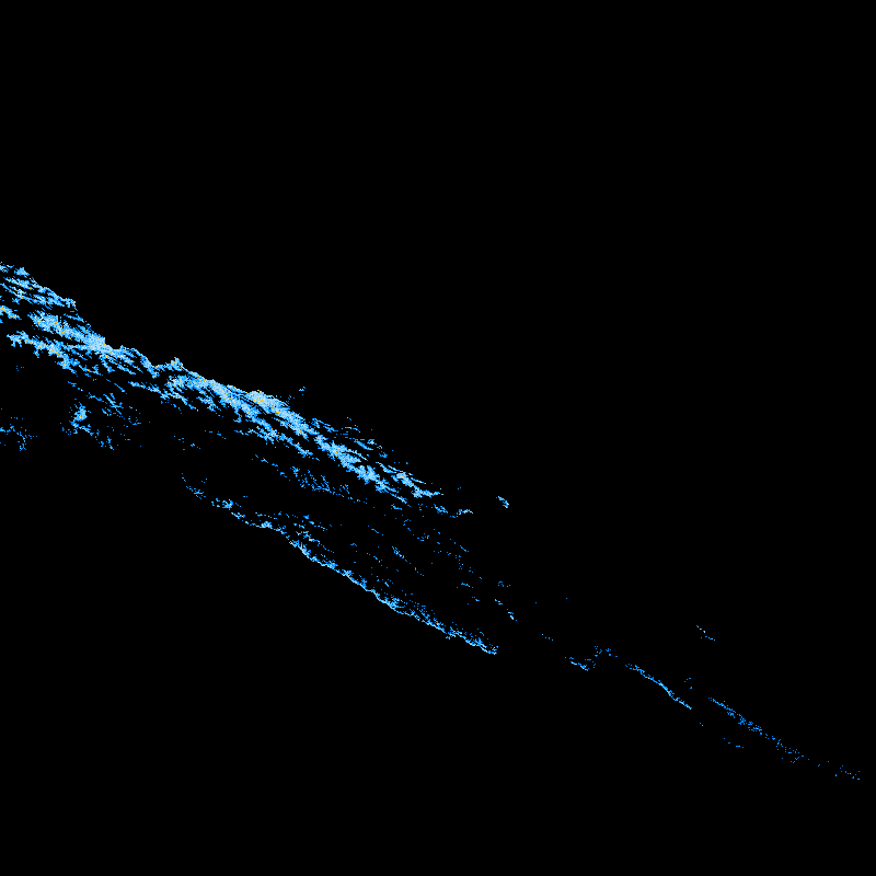
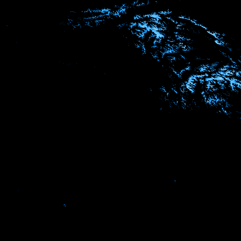
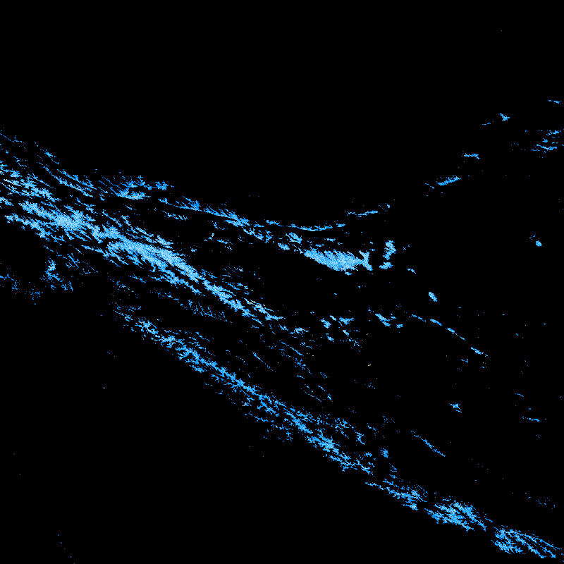
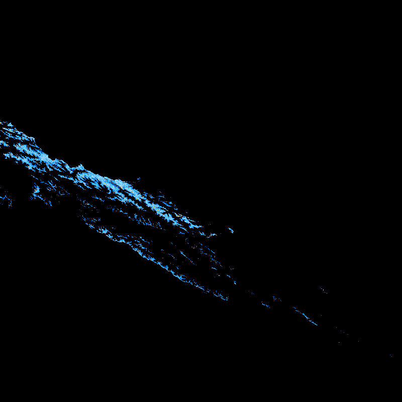
MODICE last FSCA value in blues (dark blue=1% to white=100%), yellow = "never_seen"
| year |
h23v05 |
h24v05 |
h23v05 (clipped to Upper Indus) |
h24v05 (clipped to Upper Indus) |
| 2000 |
 |
 |
 |
 |
| 2001 |
 |
 |
 |
 |
| 2002 |
 |
 |
 |
 |
| 2003 |
 |
 |
 |
 |
| 2004 |
 |
 |
 |
 |
| 2005 |
 |
 |
 |
 |
| 2006 |
 |
 |
 |
 |
| 2007 |
 |
 |
 |
 |
| 2008 |
 |
 |
 |
 |
| 2009 |
 |
 |
 |
 |
| 2010 |
 |
 |
 |
 |
M. J. Brodzik <brodzik@nsidc.org>