Page 1 | Page 2 | Page 3 | Page 4 | Page 5 | Page 6 | Panos | Main GEOL4717 page
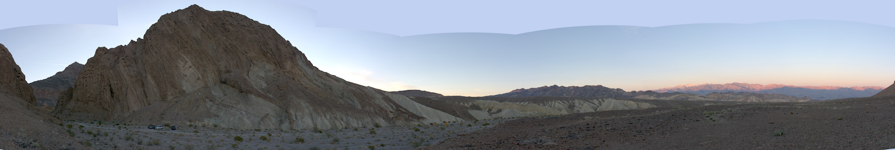
Panorama of the Death Valley area from campsite at Hole In the Wall, Death Valley National Park, 29 March 2017. Full interactive panorama here.
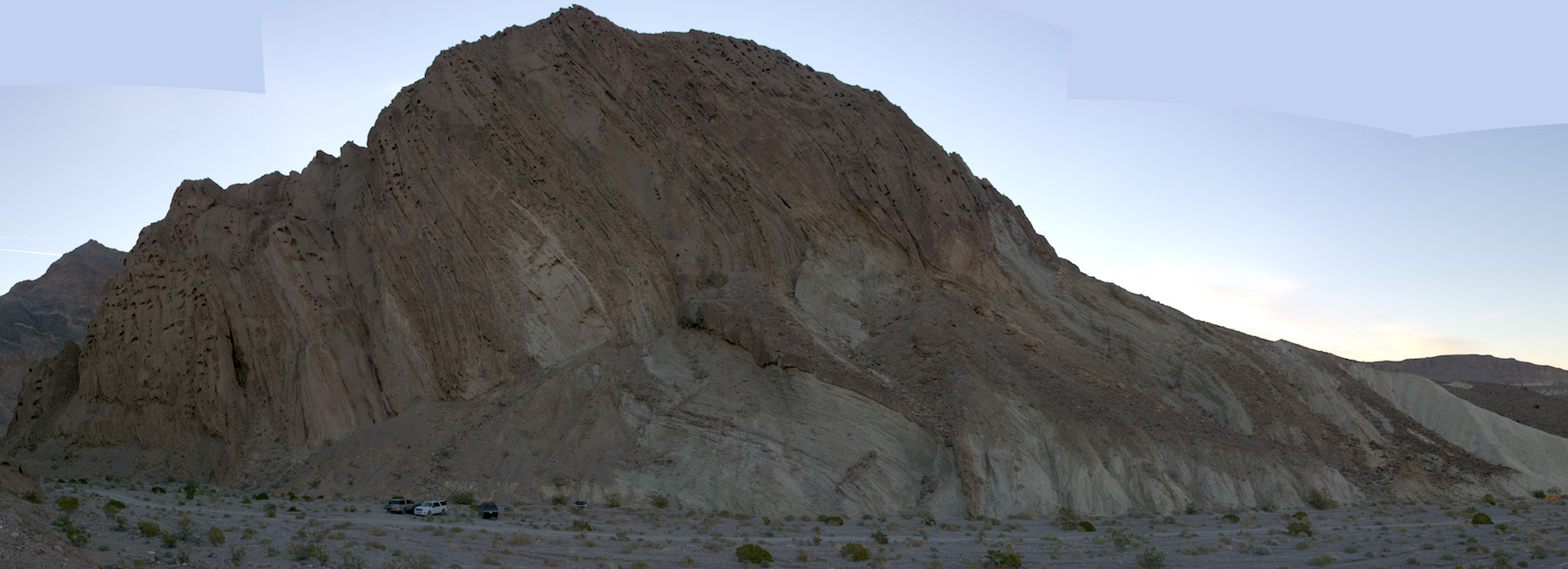
Detail of panorama showing the rapid northward (leftward) coarsening of the lower part of the Furnace Creek Formation reflecting the old basin margin as fan deposits grade into lacustrine muds. Broadly speaking on the north side of the Texas Springs syncline (though there are complications here). The Furnace Creek Fault is uphill through the hole.
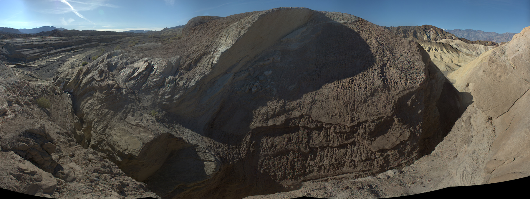
Furnace Creek Wash (at left) has been diverted into Golden Canyon (at right) just above Zabriskie Point, Death Valley NP.
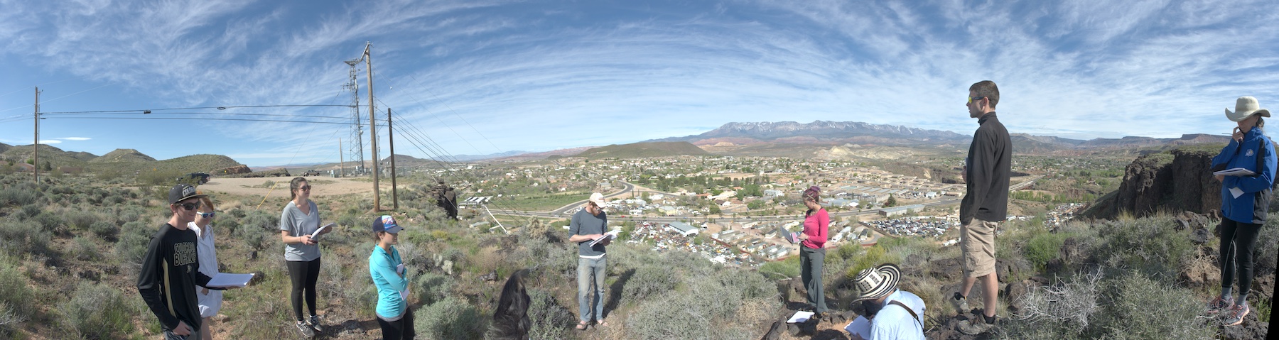
Kyren presentation on Utah Transition Zone, Hurricane Cliffs. Pine Valley Mountains (Cenozoic laccolith) on skyline over town of Hurricane. Dynamic panorama here. March 30, 2017.
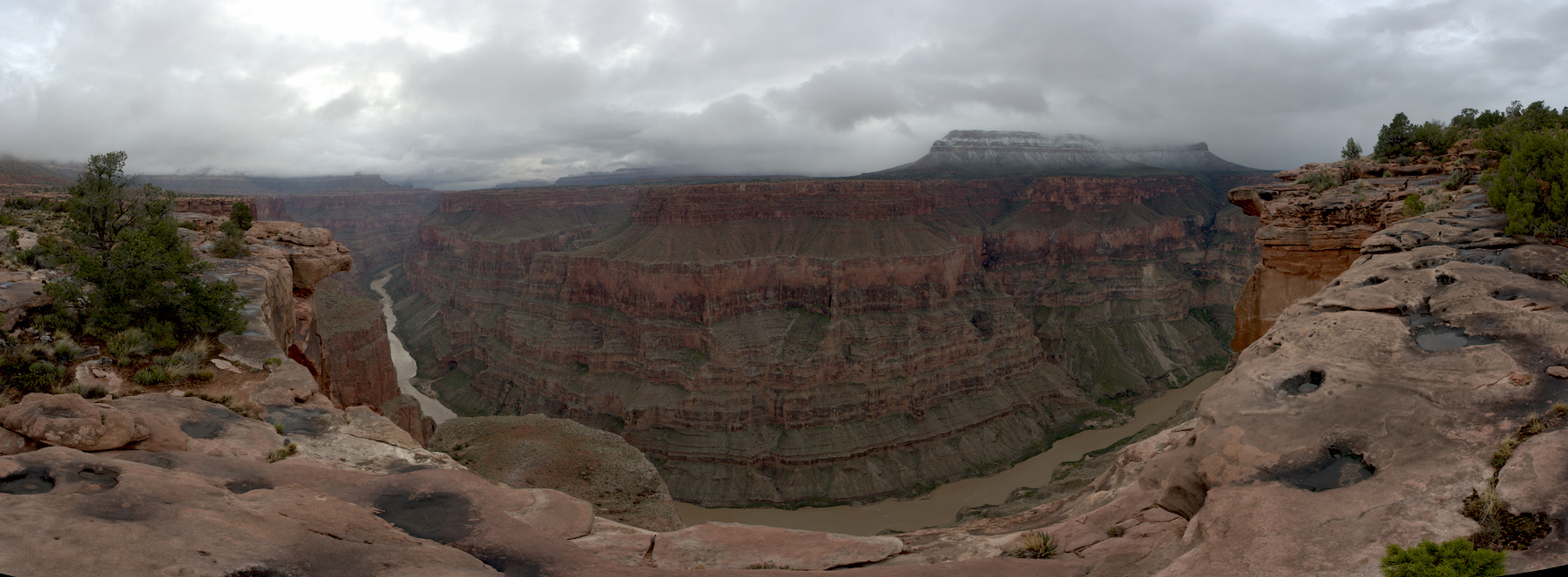
View from viewpoint over the Colorado River east of Toroweap campground. March 31, 2017. Dynamic panorama here.