
Sensing the Heat
Using satellites to seek out renewable energy hot spots
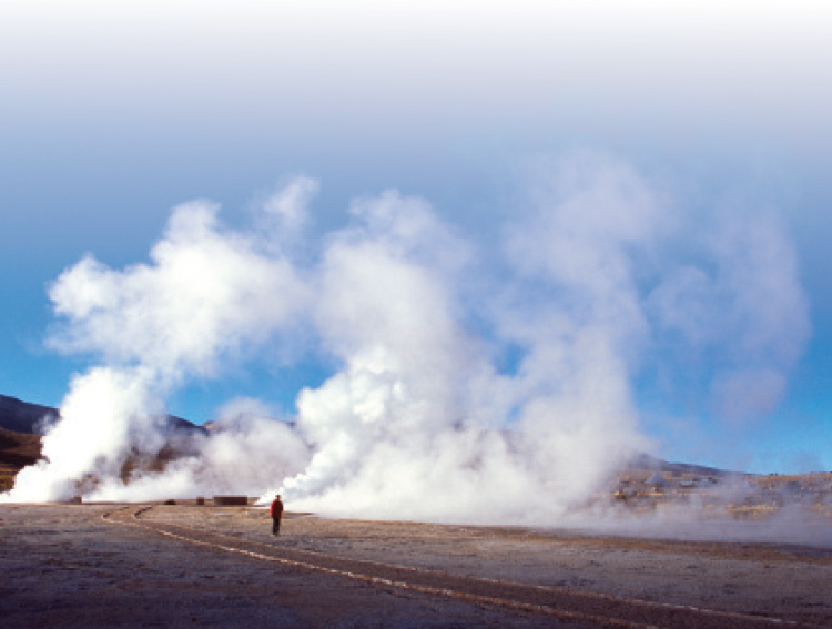
To look below the surface, sometimes it helps to take a step back—at least when it comes to looking for hidden “hot spots,” reservoirs of heat hiding beneath Earth’s crust, which are potential treasure chests of renewable energy.
These reservoirs—collections of pools of hot water deep in cracks and porous rocks under the ground—absorb their heat from the surrounding molten rock. This resource can provide energy for heating houses or powering turbines—a type of renewable energy known as geothermal energy.
“Earth’s energy resources are available in many forms. One of these forms is geothermal, which is clean and doesn’t require the burning of greenhouse-gas-producing fossil fuels,” said Waleed Abdalati, director of the CIRES Earth Science and Observation Center (ESOC), which investigates global geoscience through the use of satellite observations. This form of heat lies hidden deep beneath the surface and is not readily observable to the naked eye. From space, however, it is possible to detect signs of this important energy source.
It was ESOC’s expertise in using satellite observations that drew energy prospectors’ interest. In 2010, Flint Geothermal LLC of Denver, Colo., approached ESOC scientists to see if they could help in the exploration phase of geothermal resource development in Colorado. The prospectors wanted ESOC scientists to identify possible locations where underground reservoirs might lie.
To seek out these warm waters beneath Earth’s crust, ESOC scientists use satellites orbiting hundreds of miles above the planet. Even though these heat reservoirs are far below the surface, the temperature of the land above is typically around 7 degrees Celsius hotter than it would be in their absence. Thermal sensors on satellites can “scan” the landscape by measuring infrared electromagnetic radiation and produce maps representing the temperature at different locations. From these maps, scientists can identify where the temperature is higher than expected, giving them hints about potentially thermally active areas.
“By sensing radiation emitted at wavelengths that our eyes can’t see, we are able to identify and map hot spots on the Earth surface that may be indicative of significant heat sources that lie beneath the surface,” said Khalid Hussein, lead scientist of the ESOC team.
Much like a photographer might select one lens to photograph a mountain range and an entirely different lens to zoom in on a distant tree, the scientists use different instruments to seek out geothermal sources. Initially, they use a Moderate Resolution Imaging Spectrometer (MODIS) instrument on the Terra and Aqua satellites, which has a swath of 2,330 kilometers and
returns a temperature measurement for a square kilometer at a time. Sweeping over such a broad area, it can provide daily reports of temperature across an entire state such as Colorado.
Once the scientists identify areas that are distinctly warmer than their surroundings, using the MODIS data, they then switch to more precise tools to pinpoint the possible geothermal hot spots. They enlist the help of the Thematic Mapper (TM) and Enhanced Thematic Mapper Plus (ETM+) aboard the Landsat satellite, and the Advanced Spaceborne Thermal Emission and Reflection Radiometer (ASTER) aboard the Terra satellite. These instruments, much like a telescopic lens, can zero in on small areas of the landscape to pinpoint the exact locations of the thermally active areas.
“By combining these sensors, we are able to broadly determine areas with warm signatures and then zoom in to pinpoint the source of these emission anomalies,” Hussein said. “By studying their character, we can make informed decisions about what locations offer the greatest potential for geothermal heat sources.”
Temperature isn’t the only indicator the scientists use to sniff out warm waters. Hydrothermal discharges can alter the mineral content of the surrounding land surface, so the presence of certain types of minerals can also signal geothermal sites. Each mineral has its own spectral “signature,” and the scientists also use images from the Landsat and Terra satellites to produce “mineral maps” of an area, for example, Colorado. They then inspect these maps to identify which minerals are present in certain locations.
What Is Remote Sensing?
Remote sensing means to observe something from a distance. Taking aerial photographs from planes is one form of remote sensing; using satellites to create images of Earth is another.
Optical remote sensing satellites use light reflected from Earth to detect electromagnetic energy on the planet’s surface. The satellite’s sensor collects and records information about the electromagnetic energy and transmits the data to a receiving station where they are processed into an image.
The images can show ice, water, trees, minerals, and many other features, and a series of images taken over time can show how Earth’s surface is changing.
“By combining our analysis of the temperature characteristics with this additional geological information, we develop multiple lines of evidence for potential geothermal heat sources,” Hussein said. “This can help us make decisions on where investments in drilling will provide the greatest likelihood of success.”
Once the scientists have analyzed the satellite data, they give each unit of the landscape a rank reflecting its potential as a geothermal resource site. The rank takes into account unusual temperatures, mineral composition, and other indicators such as lines of faulting and the presence of hot springs. But in addition to these geological considerations, the researchers also use social and political information to guide their selection.
“Considerations such as difficulty of access, characteristics of the land area, proximity to transportation routes, proximity to transmission networks, and land ownership feed into the determination of the best potential geothermal energy sources and help dictate where to focus extraction efforts,” Hussein said.
In the last year, the scientists have drawn up a short list of five potential sites, which they passed on to Flint Geothermal. In the second stage of the experiment, energy prospectors will visit those potential sites and perform a field-based assessment. “By using satellites to produce the first short list of potential sites, significant financial savings are realized,” Abdalati said. “Satellites can perform observations across broad areas, with consistency.”
If successful, the scientists hope that the methodology could be automated and used to find geothermal energy resources in other states in the U.S. or even internationally.
“Satellites provide a very powerful tool for locating these tremendously valuable energy sources in an efficient and cost-effective way,” Abdalati said. “Our efforts on this project represent an important step toward meeting society’s energy needs with minimal environmental impact.”