
Rocks Galore
Virtual rock collection furthers insights into North America evolution
The Science
Scientists use volcanic rocks to understand the evolution of America. More rocks equals more knowledge.
United States Geological Survey. The researchers also add new information as it is discovered. "It is a living database," Farmer said.
Powerful map interfaces allow users to quickly plot sample locations on satellite images, and hyperlinked geochemical plots allow users to rapidly investigate space-time patterns in the compositions of rocks. These tools allow users of the database to address a wide variety of issues concerning the geologic evolution and present volcanic state of western North America. The database is also a tool for lecturers and students across the USA, Farmer said. "It has real educational value," he said.
Farmer has used the database to look at the evolution of Colorado over the last 80 million years. Specifically, he searched the database to investigate why the southern Rocky Mountain area has seen so much volcanic action when it lies so far inland from a continental margin. He has shown that much of this activity, known as magmatism, stems from an episode some 60 million years ago when the oceanic lithosphere moved under western North America.
He credits this surprising discovery to the large quantities of data at his disposal in the database. "When you consider 10,000 analyses all at the same time, much of the sampling bias goes away," Farmer said. "A discovery is not based on a couple of analysesit is based on everything."
"We are using it to look at the geological evolution of an entire continent over a hundred million years," he said.
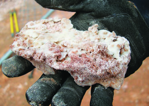
Volcanic rocks are gems of historical information, Farmer said. These rocks derive from magmasbodies of molten rock located below Earth's surfaceand, if geologists can find them on the surface, they can reconstruct how the continent has evolved through time, he said. "People have been using volcanic rock datawhether it is age or composition or petrologyto reconstruct the history of continents for 50 years."
Over the past thirty years, new geological techniques that yield geochemical, geochronological, and geospatial analyses of these volcanic rocks have produced unprecedented amounts of data, Farmer said. The construction of an online database therefore saves the research community countless hours of searching through the literature and collating previous results, he said.
To this end, the inter-university team created the NAVDAT database culling the information from previously published literature, doctoral theses and records from the
By Jane Palmer
In a geologist's universe, CIRES Fellow Lang Farmer justifiably earns the lauded title as "The Great Dane of all rockhounds."
For the last eight years, Farmer who is also Chair of Geological Sciences Department, along with colleagues from the University of Kansas and the University of North Carolina, have amassed the mother of all rock collections, currently totaling 64,985 rock samples but growing by the day. Even though the collection is a virtual oneeach rock is "stored" in an online databaseeach entry represents a real individual rock, dug or retrieved from the ground, cleaned off, inspected and written about.
The database, called the North American Volcanic and Intrusive Rock Database (NAVDAT) provides a web-accessible repository for the age and chemical compositions of western North America volcanic rocks. It supplies an unprecedented resource for researchers, educators and even the general public, Farmer said. Most notably, researchers can "mine" the database to learn more about the geological history of North America.