
The Trickle-Down Effect
How earthquakes impact rivers
By Jane Palmer
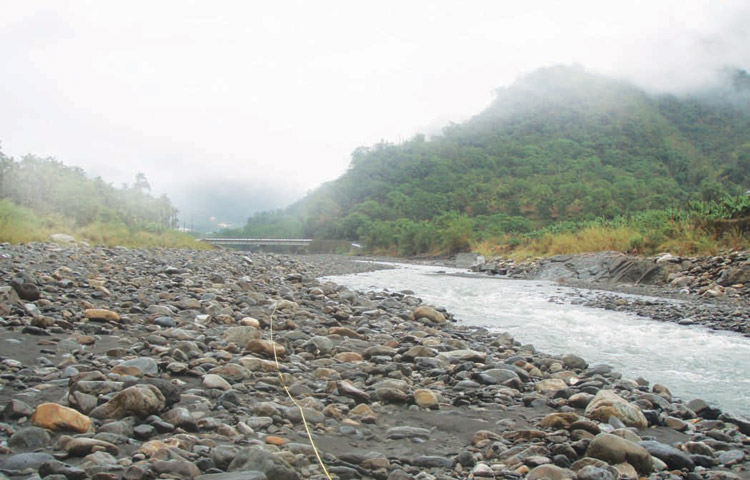
Falling buildings, landslides and tsunamis jump to mind as the most immediate consequences of an earthquake. But waterfalls? To investigate how earthquakes affect river systems and subsequently how they shape the landscape decades after the event, CIRES Fellow Greg Tucker and former CIRES graduate student Brian Yanites travelled to Taiwan, which experienced a major earthquake in 1999.
What was the immediate impact of the 1999 earthquake?
There was a series of rivers crossing the Chelungpu fault, which when it ruptured pushed up one side of the fault over another creating sharp drops. Instantly, in a matter of seconds to minutes, the earthquake created a set of brand-new waterfalls, some of which were up to six meters high.
When the water plunges over like that, it will carve out the rock beneath. In Taiwan, the rivers are powerful because they are fed by typhoons. Also, the rocks are relatively soft and so the erosion at the base of the waterfall is phenomenal. As the base erodes, the waterfall essentially moves back. So today, 10 years later, the waterfalls have moved upstream as much as a mile or so.
Researchers expected the formation of waterfalls, but were there any surprises in this study?
When Brian looked far upstream of the fault, he noticed that many of the segments of the rivers were absolutely choked in sand and gravel with no bedrock in sight. What we think is happening here is the earthquake essentially shook
loose a lot of sediment on the hill slopes. The earthquake was accompanied by thousands and thousands of landslides.
So it looks like the big earthquake of 1999 had a dual role. Where the rivers were sitting just upstream of the fault, it created a waterfall that turned the river on high speed, it just sliced like a buzz saw. But further upstream the river was just cloaked with dirt that had been shaken loose on the hillsides. The dirt basically shields the channel bedrock from erosion, and will continue to do so until it is washed away again. Brian Yanites' calculation suggests that this could take up to hundreds of years in some places.
Why is it important to understand this?
There are issues of preparedness in seismically active areas. The levels of erosion in places like Taiwan are so fast that they can have a very real effect on communities and infrastructure. For example, in Taiwan there was a hydrodam not far upstream from one of the fault structures. When that waterfall started retreating it posed a threat to that dam.
It is imperative as a community that we develop the tools to at least estimate, if not to forecast, what might happen in response to any kind of management action. What is going to happen to something complicated like a river system if you build a dam, if you cut down the trees, if you change the hydrology? That is why we need to be able to understand the physics of landscape processes, and to understand the physics we need to find natural experiments like Taiwan and use them to refine our models.